Evago

Destination library

Burundi country guide

4 questions, each answered from published authorities with the sources listed.

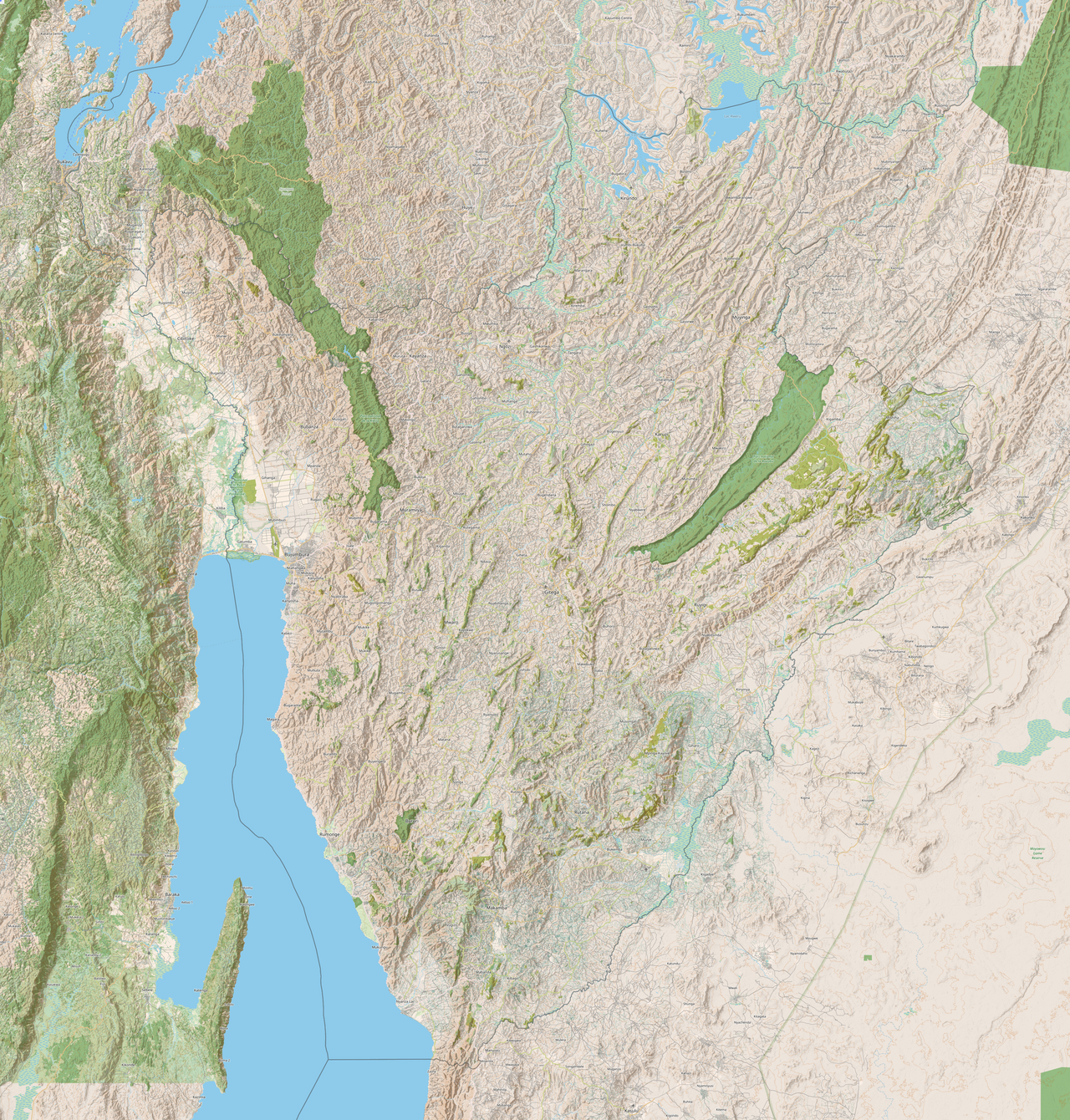
Map of entire Burundi in OpenStreetMap, captured in 2022, CyclOSM layer on Zoom level 11. Displays lake Tanganyika in the southwest, and the mountainous topography of the nation overall.
mapping data: OpenStreetMap contributors; mosaicked by: Enyavar Author mapping data: OpenStreetMap contributors; mosaicked by: Enyavar · CC BY-SA 3.0 File source

When to visit 1

Food and drink 1

Places and experiences 1

Trip planning 1

Browse every destination