Equatorial Guinea country guide When to visit
When is the best time to visit Equatorial Guinea for Bioko Island?
The short answer
December through February is a comparatively less rainy period for some parts of Bioko, though the island remains humid and highland weather differs from Malabo’s coast.
The answer, with local context
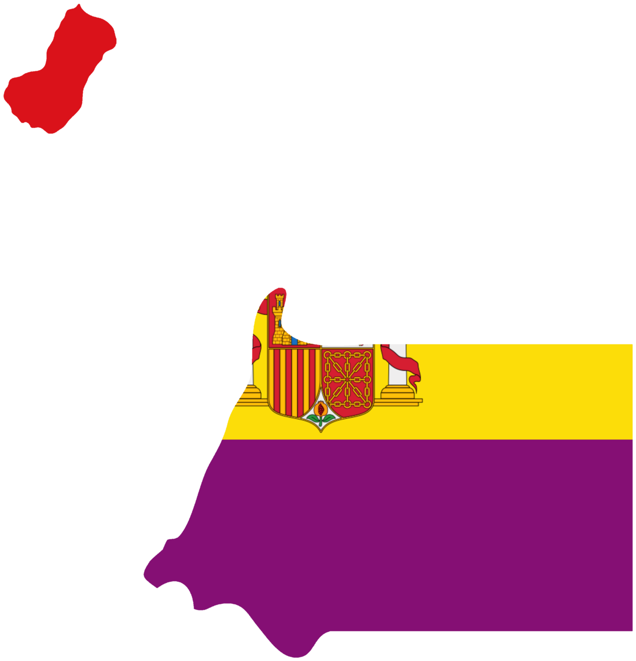
Equatorial Guinea has an insular portion in the Gulf of Guinea and a separate mainland territory, Río Muni, between Cameroon and Gabon. Bioko’s mountainous volcanic interior is much wetter than some lowland settlement areas. Rainfall patterns on the mainland do not precisely match the island’s seasonal cycle.
Bioko Island contains the city of Malabo and the volcanic summit of Pico Basilé, which rises above 3,000 meters. Forested volcanic slopes and coastal settlements occupy sharply different elevations. The country submitted Pico Basilé National Park and the Caldera de Luba Scientific Reserve to UNESCO’s Tentative List in 2026.
Equatorial Guinea had zero UNESCO World Heritage inscriptions in 2026. Its six tentative properties include Pico Basilé National Park, Monte Alén National Park, the island of Annobón and the neo-Gothic church of Batete, all listed in 2026.
Picture the place
Bioko’s volcanic slopes rise behind the Atlantic coast; misty upland forest and lowland towns occupy different elevation zones.
The easily missed detail
Bioko Island is the named focus, while Caldera de Luba Scientific Reserve is a different landmark: southern Bioko conservation landscape. Treating these as separate places in Equatorial Guinea changes where a seasonal comparison and any transport planning apply.
A practical rhythm
- First focus — Start with the distinct terrain around Bioko Island rather than applying the capital's weather to the whole country.
- Regional contrast — Use the country-wide seasonal pattern to separate coastal, inland and elevated conditions where relevant.
- Heritage check — Identify the exact UNESCO-listed property and its inscription status before scheduling a site visit.
What could complicate the plan
The United States assigns Equatorial Guinea a nationwide Level 2 travel advisory (dated October 27, 2025). Conditions for Bioko Island must also be separated from the transport and access constraints in more distant parts of the country.
What to do next
The places-and-experiences answer expands the map beyond Bioko Island. Continue with , “What should a first-time traveler see in Equatorial Guinea beyond the obvious highlights?”
Sources
- UNESCO World Heritage Centre, Equatorial Guinea State Party — inscribed and tentative heritage, designation dates and property scope
- U.S. Department of State, Equatorial Guinea Travel Advisory — national and regional security advice (country listing dated October 27, 2025)
- U.K. Foreign, Commonwealth & Development Office, Equatorial Guinea foreign travel advice — entry, safety and transport considerations