San Francisco / United States When to visit
When should I visit San Francisco, United States, for the best experience?
The short answer
September into October is San Francisco's real summer — September is the warmest month of the year with an average high of 70°F (21°C), and October runs warmer than July.
The answer, with local context
San Francisco's calendar is inverted. Downtown's average high climbs through the year to a September peak of 70°F (21°C), with October close behind at 70°F (20°C), while July manages only 66°F (19°C). The reason is the summer fog machine: heat in California's interior valleys pulls cool Pacific air through the Golden Gate, and in July fog or low cloud covers downtown for about a third of the morning hours. July is bone dry — the 1991–2020 normals record 0.00 inches of rain — but dry here does not mean warm.
The year's 23.7 inches of rain arrive almost entirely in winter. December is the wettest month at 4.6 inches, January averages 11 to 12 rainy days, and January highs sit near 57°F (14°C) with lows around 46°F (8°C). Between the fog season and the rain season sits the fall window: dry, the warmest afternoons of the year, and the fog at its weakest.
Neighbourhood changes the answer block by block. The high hills in the city's center produce a 20 percent variance in annual rainfall between districts, and the eastern side — the Mission, Potrero Hill, the waterfront — sits in sun while the western avenues are still under the fog deck.
Picture the place
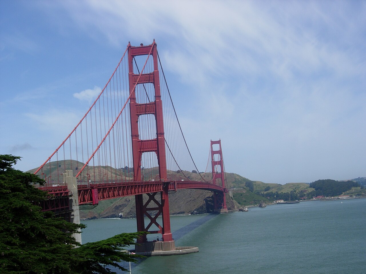
On a July morning the fog pours through the Golden Gate at deck level and the bridge's 746-foot towers stand clear above it, orange against a white sea, while three miles east the Mission is already eating breakfast outdoors in shirtsleeves.
The easily missed detail
October is warmer than July — by average high, by about 3°F. Visitors who book a "summer" trip for the heat and pack for a "fall" trip for the cold have the wardrobe exactly backwards: the jacket earns its keep in July, and September is when the city eats dinner outside.
A practical rhythm
- Morning — Start on the eastern side of the city, which clears first; in summer the waterfront west of the hills can stay grey until noon.
- Midday — Walk the bridge or the bayfront in the middle of the day, when the fog deck is thinnest even in July.
- Evening — In September and October, plan the outdoor dinner; in any month, carry the layer you wore at breakfast.
What could complicate the plan
Winter rain is concentrated, not spread out: a December or January trip should expect several washed-out days in a row rather than passing showers. Summer has the opposite trap — the afternoon wind off the Pacific makes the bridge and the western beaches feel 10 degrees colder than the downtown thermometer reading, whatever the month. One door, though, only opens in the cold months: the National Park Service's Agave Trail along Alcatraz Island's southern shore typically opens in late October and closes again in mid-January when the island's nesting waterbirds return, a half-hour shoreline walk that no July visitor can take.
What to do next
Once the month is set, use the things-to-do question in this group to sequence the bridge, Alcatraz and the cable cars around the fog.
Sources
- NOAA National Centers for Environmental Information — monthly highs, lows and rainfall
- SF Travel Association — NOAA normals tabulated by month; seasonal packing guidance
- National Weather Service — San Francisco Bay Area fog and microclimate explanations
- National Park Service, Alcatraz Island (Golden Gate National Recreation Area) — the Agave Trail's late-October opening, its mid-January closure when nesting waterbirds return, and its half-hour walking time