Senegal country guide When to visit
When is the best time to visit Senegal for Goree Island?
The short answer
Mid-November through February — the dry half of a year whose rains normally arrive in June in the south and July in the center and north, and the stretch that also catches the December peak of Senegal's biggest wildlife spectacle.
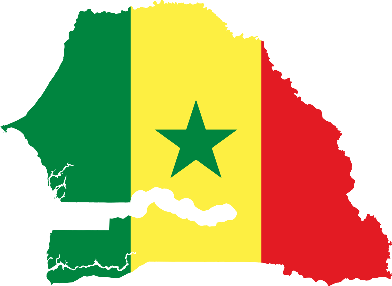
The answer, with local context
Senegal runs on one rainy season, not four. FAO's Global Information and Early Warning System puts normal onset at June across southern Senegal and July further north, and measures the country's cumulative rainfall over a June-to-October window. Everything outside that window is dry, which is why a Gorée itinerary and a northern wetlands itinerary fit into the same trip only in the back half of the calendar.
Gorée itself was inscribed on the World Heritage List in 1978 under a single criterion, (vi), which UNESCO applies to places of exceptional associative significance rather than architectural merit. From the 15th to the 19th century the island was the largest slave-trading center on the African coast, passing in turn through Portuguese, Dutch, English and French control. It lies about 3.5 km off Dakar, with the Atlantic forming a buffer of nearly 4 km around the property — a crossing, not a drive, which means boat schedules rather than gate hours shape your day there.
The December argument is the Djoudj National Bird Sanctuary, 1 of Senegal's 2 natural World Heritage properties and a Ramsar wetland since 11 July 1977. Its 16,000 ha in the Senegal River delta carry up to 3,000,000 individual birds of more than 360 species at the season's December peak, according to the site's Ramsar information sheet. No other month on the Senegalese calendar concentrates that much.
Two cultural dates pull the other way. The Kankurang, a Manding initiatory rite inscribed by UNESCO in 2008 and practised mainly in the Casamance and around the city of Mbour, generally takes place between August and September — deep in the rains. The Serer divination ceremony Xooy, inscribed in 2013, is held in the year ahead of the rainy season, in village squares across west-central Senegal, and runs through the night until daybreak.
Picture the place
Gorée's high end is a rocky plateau covered with fortifications, the Castle, and it holds the afternoon heat long after the light has gone flat. Below it stand the slave quarters, the slave houses — more than a dozen by UNESCO's count — and the Relais de l'Espadon, once the French governor's residence. With nearly 4 km of open water on every side, the breeze off the Atlantic reaches the landing even when the stone is still warm.
The easily missed detail
Gorée's legal protection is far older than its World Heritage status, and that history is the reason the island still reads as a whole rather than as a monument with a car park. The colonial administration designated it a historic site in 1944, safeguarding measures followed in 1951, and Senegal placed it on the national heritage list by Order No. 012771 of 17 November 1975 — 3 years before inscription. A dedicated Safeguarding Committee was created in 1979. UNESCO has also agreed to a modification of the replica Gorée Memorial standing on the Castle, so the summit is a site under active negotiation, not a settled tableau.
A practical rhythm
- First crossing of the day — Take the earliest boat you can. The island's fortified plateau is unshaded, and the climb is the one part of a Gorée visit that heat genuinely spoils.
- Late morning — Work downhill through the slave houses and the traders' houses. Criterion (vi) is about association, so the reading matters more here than the architecture.
- Mid-afternoon — Pair the island with the Dakar waterfront rather than a second site. The 3.5 km crossing eats more of a day than the distance suggests.
What could complicate the plan
Entry rules decide this trip before weather does. The UK Foreign, Commonwealth and Development Office's Senegal page requires a passport with an expiry date at least 6 months after the date you arrive, and warns that travelers can be refused entry without evidence of onward travel and proof of accommodation. A yellow fever certificate is required of anyone arriving from a country listed as a transmission risk, including after transiting that country's airport, with babies aged 9 months and under exempt. The visa position depends on nationality — that page sets out the position for British citizens, who need no visa for visits up to 3 months, with registration required locally beyond that — so Americans should confirm their own requirement rather than read across. The other complication is that the Kankurang's August-to-September window sits squarely inside the rains, so the best weather and that particular rite cannot be had on one trip.
What to do next
The Senegal places question in this chapter covers the Saloum Delta, the Stone Circles of Senegambia and Niokolo-Koba, none of which share Gorée's season. For entry paperwork and internal distances, read the Senegal trip-planning answer.
Sources
- UNESCO World Heritage Centre, Island of Gorée — inscription year, criterion (vi), distance from Dakar, the 4 km marine buffer, named structures, the 1944/1951/1975/1979 protection dates and Order No. 012771
- UNESCO Intangible Cultural Heritage, Kankurang (00143) and Xooy (00878) — inscription years 2008 and 2013, the August-to-September ritual window, the Casamance and Mbour, the Serer night ceremony
- Ramsar Sites Information Service, Parc National des Oiseaux du Djoudj, Site no. 138 — designation date 11 July 1977, 16,000 ha, 3,000,000 birds and 360 species at the December peak
- FAO GIEWS Country Brief, Senegal — normal rainy-season onset by region and the June-to-October rainfall window
- UK Foreign, Commonwealth and Development Office, Senegal entry requirements — passport validity, onward-travel and accommodation evidence, yellow fever rule and the 9-month exemption