Jamaica country guide Trip planning
How can I plan a memorable first trip to Jamaica without rushing?
The short answer
Give it ten days and no more than three bases — on an island 146 miles long with mountain roads down the middle, the mistake is not seeing too little but moving too often.
The answer, with local context
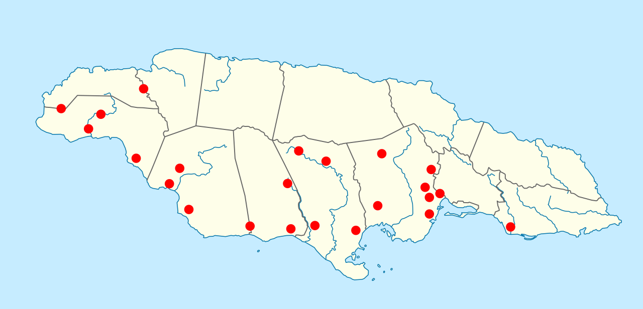
Jamaica covers 4,244 square miles across 14 parishes, and the numbers mislead. The coast roads are fast; the interior roads are not. Crossing the island north to south over the mountains can take as long as running the full length of the north coast, because the routes climb, switchback and narrow. Plan around three anchors — the capital and its mountains, the eastern parishes, and one coastal base in the west or south — rather than a lap.
Entry is straightforward for Americans. A valid US passport is required along with proof of planned departure, one blank passport page is needed, and no visa is required for tourist travel of up to 90 days; anything longer needs a visa or work permit. Yellow fever vaccination is required only if you are arriving from a country with yellow fever risk. There is no separate exit tax to pay at the airport, because departure tax is normally built into the airfare. Cruise arrivals may use another WHTI-compliant document, though a passport is the safer choice if an emergency means flying home.
Season drives everything else. The Atlantic hurricane season runs June 1 to November 30, and the island's second and heavier rainfall peak falls in October, inside it. February and March are the driest and the most reliable. If the Blue Mountains are on the list, build in the published park charges — US$10 per non-resident adult for a single entry, US$20 for the hiking trail, US$10 a night to camp in a designated campground — and give the ridge a full day rather than a morning.
The US Embassy is at 142 Old Hope Road, Kingston 6, on +(876) 702-6000, with a consular agency in Montego Bay. The State Department's country information page carries the headline "Reconsider travel to Jamaica due to crime," which is a reason to plan transport and neighborhoods deliberately rather than improvise them.
Picture the place
The drive up from Kingston into the mountains gains several thousand feet in under twenty miles, and the temperature falls with it — the coastal plain can be at 86°F (30°C) while the ridge road is cool enough for sleeves, with cloud moving through the trees at eye level.
The easily missed detail
Jamaica's single World Heritage property, the Blue and John Crow Mountains, was inscribed in 2015 as a mixed cultural and natural site. That dual status is a planning instruction in disguise: the trails that matter are not only the ones that climb. The Maroon cultural routes recognized under criteria (iii) and (vi) lie in the surrounding communities, and reaching them means budgeting time in Portland and St Elizabeth, not just a dawn start for the summit.
A practical rhythm
- Days 1 to 3 — Kingston as the base, with one full day in the Blue Mountains and one across the harbor at Port Royal.
- Days 4 to 6 — Portland in the east, the wettest and greenest parish, for the John Crow flank and the northeast coast.
- Days 7 to 10 — One coastal base in the south or west, with no further moves, and the drive broken rather than done in a single stretch.
What could complicate the plan
Firearms, ammunition, mace, pepper spray and knives are prohibited without authorization from Jamaica's Firearms Licensing Authority, and a US concealed carry permit confers nothing here. The FCDO reports that healthcare access is still limited in the areas worst affected by Hurricane Melissa, with field hospitals operating in some places, and that medical providers expect immediate cash payment. Hurricane-season road damage in the interior can outlast a storm by months, so a mountain route that worked last season is worth confirming for this one.
What to do next
For the mountain leg, the Blue Mountains timing question in this group gives the months and the fees; for the stops that fill the eastern and southern days, see the places-and-experiences question.
Sources
- US Department of State, Jamaica International Travel Information — passport and blank-page requirement, 90-day visa-free tourist entry, yellow fever condition, departure tax, firearms prohibition, embassy address and telephone, advisory headline
- NOAA National Hurricane Center — Atlantic hurricane season dates
- NEPA Jamaica, Blue and John Crow Mountains National Park user fee regulations, 2019 — entry, trail and camping fees
- UNESCO World Heritage Centre, decision 39 COM 8B.7 — 2015 inscription as a mixed cultural and natural property, criteria (iii)(vi)(x)
- UK Foreign, Commonwealth and Development Office, Jamaica travel advice: Health — post-hurricane healthcare access, cash payment expectations