Malawi country guide Trip planning
How can I plan a memorable first trip to Malawi without rushing?
The short answer
Build the trip around two World Heritage properties of different kinds — one natural, inscribed in 1984, and one cultural, added in 2006 — and let the rainfall calendar order them.
The answer, with local context
Malawi is small enough to cross in a day and varied enough that doing so wastes it. The sensible frame is the meteorological service's own seasonal structure: its outlook is issued in two sub-seasons, October to December and January to March, and for January to March 2026 it projected generally normal to above-normal rainfall, with pockets in Mchinji, Dowa, Kasungu and Lilongwe expected to be normal to below normal. That is a planning calendar — the plateau districts around the capital and the lakeshore do not get the same rain in the same weeks.
Heat sets the other boundary. The service recorded an absolute maximum of 108.7°F (42.6°C) at Ngabu in Chikwawa on 2 November 2025 — the Lower Shire valley is the hottest ground in the country and the least comfortable place to end an itinerary in late dry season.
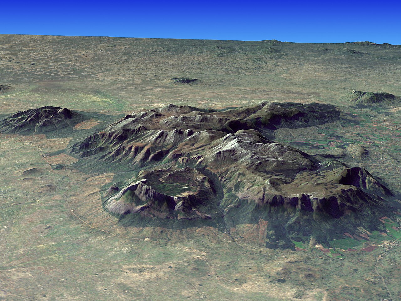
The Mulanje massif in the far south is the one leg that should not be squeezed. In the first ten days of November 2025 Mulanje Boma recorded 1.52 inches (38.7 mm) of rain in a single rainy day. On a mountain whose paths climb from plantation level to open plateau, that is the difference between a walkable track and a running one.
Across all of it, the lake is the fixed point, and the UNESCO property there was inscribed as a natural site in 1984 while Chongoni followed as a cultural one through document WHC-06/30.COM/19. Routing a trip to take in both means crossing from the plateau to the lakeshore rather than staying on one.
The easily missed detail
The IUCN's assessment of Lake Malawi National Park names pressures that are visible from a beach, once you know to look: pollution from sewage, fecal bacteria, plastic and boat fuel, concentrated near the enclave villages; sediment and nutrient loading from deforestation and agriculture, which raises turbidity and feeds algal growth; and climate change effects including lake warming, extreme rainfall and fish kills. It also records potential oil exploration as currently inactive but capable of causing severe spills if resumed. Water clarity varies between beaches for reasons that have nothing to do with the weather that week.
A practical rhythm
- Plateau first — Lilongwe and the Dedza area sit in the districts the met service singled out for potentially drier January-to-March conditions.
- Lakeshore second — The 1984 natural property is the trip's anchor and the best use of settled weather.
- Mountains last, or not at all in the rains — Mulanje recorded over an inch and a half of rain in one November day before the season had even formally begun.
What could complicate the plan
Rainfall is forecast by sub-season, not by date, and the service's own January-to-March outlook splits the country rather than treating it as one unit. Heat in the Lower Shire reached nearly 109°F in early November 2025. And the conservation pressures on the lake are active rather than historical: pollution near settled shorelines and sediment loading from upstream land use both affect what a beach day actually looks like.
What to do next
The Malawi when-to-visit answer in this group covers the rainfall onset threshold and the lake's inscription criteria; the places answer handles Chongoni and Lake Chilwa in detail.
Sources
- Malawi Department of Climate Change and Meteorological Services — sub-seasonal outlook structure, districts projected normal to below normal, Ngabu absolute maximum, Mulanje Boma daily rainfall
- IUCN World Heritage Outlook — pollution, sediment and nutrient loading, climate change effects, status of potential oil exploration
- UNESCO World Heritage Centre, decision 30 COM 8B.35 — Chongoni inscription document reference