Mauritius coast / Mauritius Things to do
What are the most worthwhile things to do in Mauritius coast on a first visit?
The short answer
Combine the Le Morne peninsula, a west-coast lagoon, Blue Bay and the Mahébourg waterfront on a first coastal visit; these four settings reveal more of Mauritius than repeating the same resort beach.
The answer, with local context
Start with the southwestern coast. Le Morne Brabant is not merely a backdrop to kiteboarding: the mountain, peninsula and associated cultural landscape are tied to the history of resistance to enslavement. The Le Morne area is protected through national heritage institutions, and the mountain is recognized internationally in the country’s UNESCO heritage. UNESCO inscribed the Le Morne Cultural Landscape under criteria (iii) and (vi), reading the mountain as exceptional testimony to maroonage — runaway slaves sheltered in its caves and on its summit through the 18th and early 19th centuries, and so many lived there that the island acquired a reputation as a maroon republic. From this part of the shore, a traveler can distinguish the mountain-facing lagoon from the more exposed seaward edge.
On the west coast, Flic-en-Flac provides a long beach base while Tamarin is associated with a different bay and coastal setting. To the north, Trou-aux-Biches and Grand Baie put beaches close to boat departures and restaurants. These are not interchangeable stops: a lagoon boat outing depends on reef channels and wind, whereas a beach walk can remain worthwhile even when the boat schedule changes.
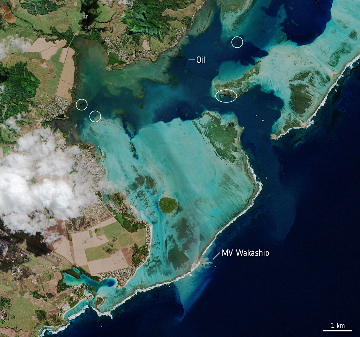
Finish the coastal circuit in the southeast. Blue Bay is associated with a shallow marine lagoon and reef habitat, while nearby Mahébourg has the scale of a local town rather than a resort enclave. Blue Bay repays the detour for a measurable reason: the marine park's Ramsar documentation records 38 coral species across 28 genera and 15 families, together with about 72 fish species, inside one small lagoon, and the park is enforced under Mauritian fisheries and marine regulations made in 2001, with daily patrols. A snorkelling morning there is a short swim through a surprisingly dense inventory. Inland diversions such as Chamarel or Black River Gorges change the landscape entirely, but neither is a beach attraction. Avoid describing the southern coastline as uninterrupted sandy strand: the Mauritius government specifically notes sections of steep, rocky coast.
Picture the place
At Le Morne the mountain appears to stand immediately above a ribbon of coast; in Mahébourg the emphasis shifts to waterfront streets, anchored boats and the lagoon opening toward the southeast.
The easily missed detail
The coast is much easier to understand as a circuit of distinct shores than as a single list of top beaches. Even the coral reef that almost encircles Mauritius has exceptions, which explains why the ocean can be markedly rougher south of the island.
A practical rhythm
- First day — Explore Le Morne’s public coastal setting and the heritage landscape without treating protected cultural space as a free-access hiking park.
- Second day — Use Flic-en-Flac or Trou-aux-Biches for a low-transfer beach and lagoon day.
- Third day — Pair Blue Bay with Mahébourg for marine scenery and a town-based walk.
What could complicate the plan
Water entry and boat access should follow the designated zone and operator rules; strong currents or wind can make a visually beautiful shoreline unsuitable for swimming. Heritage access on the Le Morne mountain is not identical to casual access to the adjacent beach.
What to do next
The Mauritius coast timing answer () explains which side of the island is most sheltered by season. For market food and specialties, read .
Sources
- Mauritius Meteorological Services — coastal sunshine, seasonal rainfall and regional contrast
- Mauritius government — reef-fringed geography, southern coast, food heritage
- Le Morne Heritage Trust Fund — southwest landscape and heritage significance
- UNESCO World Heritage Centre, Le Morne Cultural Landscape — inscription criteria (iii) and (vi), the maroon settlements of the 18th and early 19th centuries and the island's maroon reputation
- Ramsar Sites Information Service, Blue Bay Marine Park — 38 coral species in 28 genera and 15 families, about 72 fish species, the 2001 regulations and the daily patrols
- U.S. State Department — entry and passport requirements