Punta Cana / Dominican Republic Things to do
What are the most worthwhile things to do in Punta Cana on a first visit?
The short answer
Leave the beach for a day and go into Cotubanamá National Park — 796.4 square kilometers of protected coast, islands and dry forest on the same eastern tip of the island, reached from Bayahibe.
The answer, with local context
Cotubanamá, formerly called Parque Nacional del Este, is the largest protected area within reach of this coast. The Ministerio de Medio Ambiente y Recursos Naturales records its extent as 796.4 square kilometers, with a 300-meter buffer zone, and lists Bayahibe, Boca de Yuma and Adamanay among the settlements on and around it. The park falls under the national protected-areas framework established by Ley 202-04, with Decreto 519-14 also cited. Boat trips to Saona Island, the single most popular excursion from Punta Cana, run inside this park rather than outside it.
Inland, the limestone platform behind the coast is riddled with freshwater features. Punta Cana's own Indigenous Eyes Ecological Reserve, run by the Grupo Puntacana Foundation, protects a stretch of subtropical forest containing a chain of twelve freshwater lagoons fed by groundwater. Scape Park, further inland, is built around the Hoyo Azul sinkhole at the foot of a cliff.
Then there is the capital. The Colonial City of Santo Domingo, inscribed on the World Heritage List as reference 526, is roughly 120 miles west along the Autovía del Coral and the Autopista del Este — a long but genuinely feasible day, and the oldest permanent European settlement in the Americas. If you only do one thing away from the resort strip, this is the one with the most behind it.
Closer in, Higüey is the provincial town of La Altagracia, the province Punta Cana sits in, and Macao is the public beach most used by Dominicans rather than hotel guests.
Picture the place
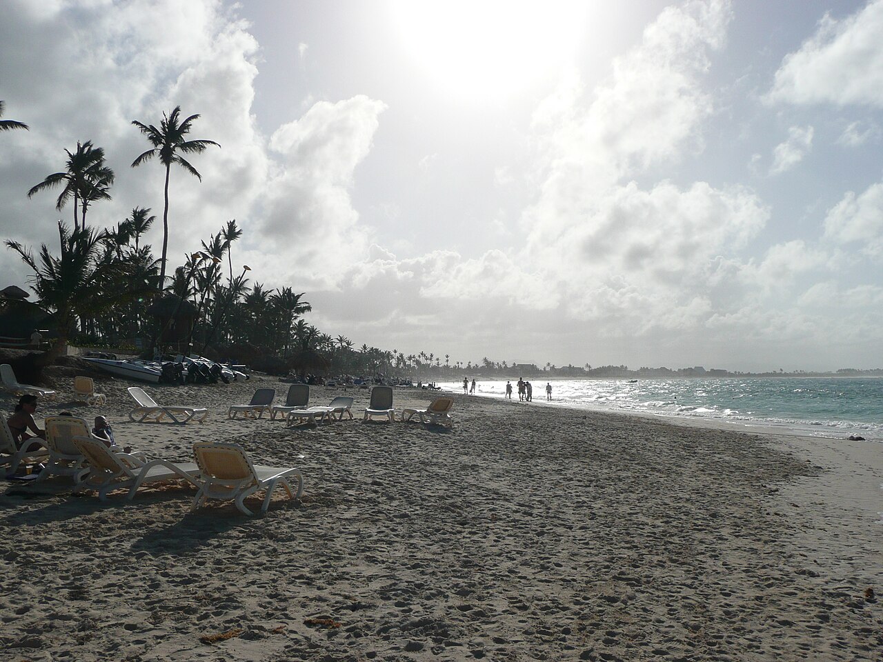
The ground inland from the coast is bare karst — pitted gray limestone with thin soil and dry forest on top — which is why the lagoons and sinkholes exist at all: rainwater drains straight through the rock and collects below it. Saona's beaches are the opposite, flat white sand on a shelf so shallow that the boats anchor well out.
The easily missed detail
The Saona trip and the Bayahibe boats operate inside a national park, which means the day is governed by the park authority's rules and not only by the tour operator's schedule. Bayahibe, the usual departure point, is about an hour and a half west of the Punta Cana hotel strip rather than next to it, so what is sold as a beach excursion is in practice a long day with a substantial road leg at each end. Build it as a full day, not a half one.
A practical rhythm
- Early start west — Bayahibe for the Saona boats, which leave in the morning and come back mid-to-late afternoon.
- Midday inland — The Indigenous Eyes lagoons or the Hoyo Azul sinkhole, both shaded by forest and cooler than the open beach.
- One long day to the capital — Santo Domingo's colonial core via the coastal highway; leave early and accept the drive.
What could complicate the plan
Every passenger must complete the Dominican Republic's digital entry and exit form before arriving and before leaving, and the FCDO notes you may be refused entry without proof of onward or return travel. Excursion boats are weather-dependent, and the Atlantic hurricane season from June 1 to November 30 overlaps the heavier of the two rainfall peaks, when sea states cancel trips. Distances are the real constraint: Bayahibe, Higüey and Santo Domingo all lie west of the resort strip, so almost every excursion means driving away from the coast you are staying on.
What to do next
The Punta Cana when-to-visit question in this group explains which months give the calm seas these boat trips depend on, and the food question covers what to eat in Higüey and the fishing villages along the coast.
Sources
- Ministerio de Medio Ambiente y Recursos Naturales, Dominican Republic, Parque Nacional Cotubanamá — park area of 796.4 square kilometers, 300-meter buffer zone, former name Del Este, settlements including Bayahibe and Boca de Yuma, legal citations Ley 202-04 and Decreto 519-14
- UNESCO World Heritage Centre, Colonial City of Santo Domingo — official property name and reference number 526
- Dirección General de Migración, Dominican Republic — mandatory digital entry and exit form for every passenger
- UK Foreign, Commonwealth and Development Office, Dominican Republic travel advice: Entry requirements — proof of onward or return travel
- NOAA National Hurricane Center — Atlantic hurricane season dates