Seattle / United States When to visit
When should I visit Seattle, United States, for the best experience?
The short answer
Mid-July to mid-September — the one stretch when Seattle's rain largely switches off, highs sit in the upper 70s°F (25–26°C), and the evening light lasts past 9 p.m.
The answer, with local context
Seattle's reputation is built on a statistical trick. Sea-Tac's 1991–2020 normals record 39.3 inches of precipitation a year — less than New York City receives — but it falls across roughly 156 days, so the city is frequently damp and rarely soaked. An average wet day delivers about a quarter of an inch, usually as hours of fine drizzle rather than a downpour.
The distribution is lopsided. November is the wettest month and January runs close behind it, with average highs near 47°F (8°C) and lows near 37°F (3°C); snow is a minor character, averaging only about 6 inches a year. Then the tap closes: July is the driest month of the year with well under an inch of rain, and July and August together form a Mediterranean-style dry season of warm, stable weather.
Daylight is the other swing. At Seattle's latitude the city gets roughly 16 hours of it in mid-June and only about 8.5 hours in mid-December, which is why a July trip feels twice as long as a January one. Summer is also when 14,410-foot Mount Rainier, the volcano on the southern horizon, is most often visible — locals mark the good days by saying "the Mountain is out."
Picture the place
From the deck of the Bainbridge ferry on a clear July morning, Rainier fills the southern sky behind the skyline — a white cone so large and so rarely visible that first-time visitors routinely mistake it for a cloud bank.
The easily missed detail
Seattleites' famous refusal of umbrellas is arithmetic, not toughness. When a typical rainy day totals a quarter of an inch spread over hours, a hooded jacket genuinely is the better tool — the rain here mists more than it pours.
A practical rhythm
- Morning — Take the viewpoints and the ferry early, when Rainier is most likely to be clear of haze and cloud.
- Midday — Give the market and the museums the middle of the day; summer heat is never the problem here.
- Evening — Use the long light: in late June the sun sets after 9 p.m., so dinner can come after a full evening on the waterfront.
What could complicate the plan
Winter's real cost is darkness, not cold — by mid-December the sun is gone before 4:30 p.m., which compresses sightseeing into a short grey window. At the other end of the calendar, late August and September have in recent years brought episodes of wildfire smoke from regional fires, which can erase the Rainier view and push air quality into unhealthy ranges for days at a time. Day trips out of the city also carry a small piece of paperwork: Washington State Parks requires a Discover Pass to park at a state park or on Department of Fish and Wildlife and Department of Natural Resources land, priced at $45 for the year or $10 for a single day, so the spontaneous drive to a trailhead needs the pass bought before the car is left.
What to do next
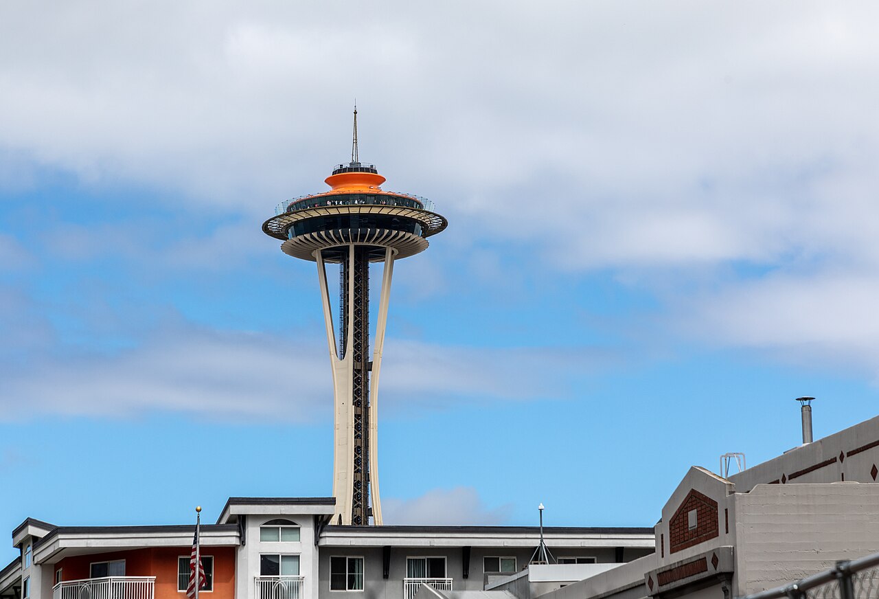
With the season set, the things-to-do question in this group orders the Market, the Needle and the ferry around the clear days.
Sources
- NOAA National Centers for Environmental Information — 1991–2020 climate normals, Seattle–Tacoma: annual precipitation, monthly extremes and snowfall
- National Weather Service, Seattle — Puget Sound seasonal weather patterns and daylight extremes
- U.S. Geological Survey — Mount Rainier elevation of 14,410 feet and its visibility from the Seattle basin
- Washington State Parks — the Discover Pass requirement for day-use parking on state park, Fish and Wildlife and Natural Resources land, at $45 annually or $10 for one day