Uganda country guide When to visit
When is the best time to visit Uganda for Bwindi Impenetrable Forest?
The short answer
June to August, the window that opens as the March-to-June rainy season closes across Uganda's bimodal farming belt — at Bwindi the deciding factor is wet ground on steep forest, not where the gorillas are.
The answer, with local context
FAO's country brief for Uganda, with a reference date of 8 May 2026, sets out the rainfall pattern that governs travel. In the bimodal areas that cover most of the country, the first rainy season normally runs March to June; first-season crops were planted in February and March 2026 for harvest in June and July. The Karamoja region in the north-east is unimodal, with rains normally from April to August. The same brief recorded western Uganda — the side of the country Bwindi sits on — receiving cumulative rainfall almost twice the long-term average by late April 2026.
Bwindi is a forest on steep ground, and that combination is why rain matters more than temperature. UNESCO inscribed it in 1994 under criteria (vii) and (x), and IUCN records the park at 32,000 hectares in south-western Uganda, at a point where plain and mountain forest meet. More than 100 fern species grow there, at least 350 bird species have been recorded, and 22 of the 36 known Albertine Rift endemic birds occur in the park.
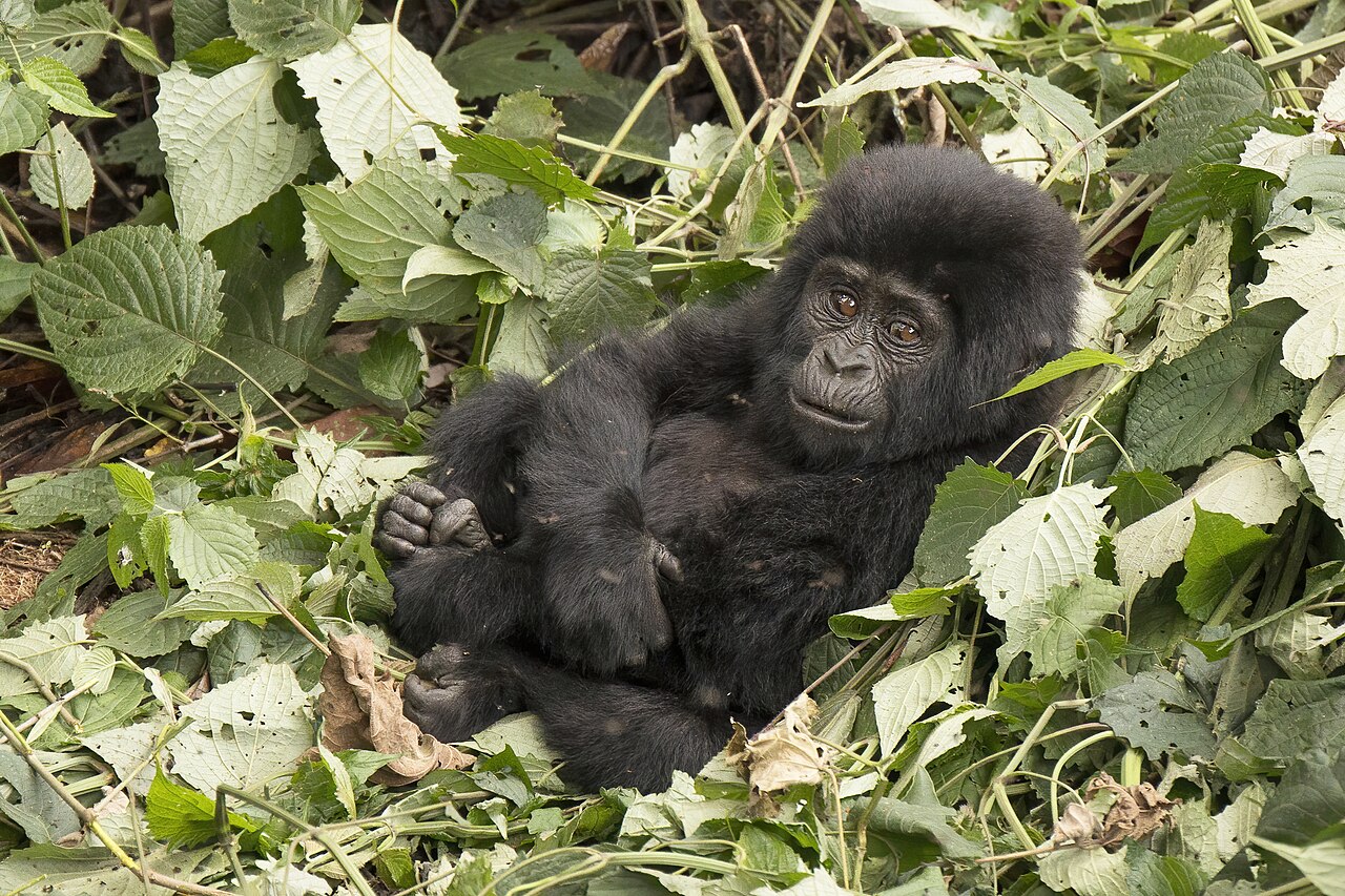
The gorillas are the reason most people come, and the published numbers are specific. A 2018 census counted 459 mountain gorillas at Bwindi, roughly 51% of the world population, up from 400 in 2011. IUCN finalized the park's conservation outlook as "Good with some concerns" on 11 October 2025, rating the overall threat level Low and describing threats as moderate and localized.
Picture the place
The name is not decoration. Bwindi is a dense, wet montane forest where the undergrowth is thick enough that tracking means following cut paths rather than walking lines, and the terrain tips from lowland into mountain inside the same 32,000 hectares. IUCN describes the forest as an ecological island — a block of habitat surrounded by farmland rather than more forest.
The easily missed detail
Tourism is itself on IUCN's threat list for Bwindi, rated High: gorilla tourism carries a disease-transmission risk and a habituation effect that can leave the animals more vulnerable. Road construction is the other High-rated threat, specifically the Nteko–Buhoma road, which IUCN warns could fragment gorilla habitat and increase illegal access. Human–wildlife conflict from crop raiding is rated High as well, because it drives local resentment and feeds poaching. The strictness of visitor rules at Bwindi follows directly from that disease-transmission rating rather than from administrative habit, which is why they do not bend for weather or a missed morning.
A practical rhythm
- Before the forest — The park has been run under successive general management plans, the most recent covering 2014 to 2023, and permitting sits inside that framework.
- In the forest — At 32,000 hectares where plain and mountain forest meet, the ground gains and loses height constantly, which is what rain makes harder.
- Around the park — Community programs run through the Bwindi Mgahinga Conservation Trust, set up because the forest's relationship with the farmland pressing against it is the long-running conservation problem.
What could complicate the plan
Bwindi's position near the Democratic Republic of the Congo border carries its own risk, and IUCN rates possible civil unrest and insurgency a High potential threat for exactly that reason. The FCDO has also published a closure of Uganda's border with the DRC, announced on 27 May with limited exceptions, in connection with Ebola — which matters most for anyone intending to pair Bwindi with a Congo-side trek. Uganda requires a visa in all cases, applied for online with an emailed barcode authorization presented on arrival, so a last-minute change of dates is not a counter transaction. And rainfall can overshoot the averages badly: western Uganda recorded cumulative rainfall almost twice the long-term average by late April 2026, which puts the approach roads rather than the trek itself at the center of the risk.
What to do next
The Uganda places-and-experiences answer covers the glaciated Rwenzori range and the Buganda royal tombs, and the trip-planning answer handles visas, customs and internal distances.
Sources
- IUCN World Heritage Outlook, Bwindi Impenetrable National Park — inscription year, criteria, area, bird and fern species, Albertine Rift endemics, gorilla census figures, conservation outlook rating and date, threat ratings, management plans
- FAO GIEWS, Uganda country brief — bimodal and Karamoja rainy-season months, planting and harvest timing, western Uganda rainfall anomaly
- UK Foreign, Commonwealth and Development Office, Uganda entry requirements — mandatory online visa and barcode authorization, DRC border closure announced 27 May