Uluru / Australia Things to do
What are the most worthwhile things to do in Uluru on a first visit?
The short answer
Walk the full Uluṟu base circuit — 10.6 kilometers, about 6.6 miles, graded moderate and timed at 3.5 hours — and then give Kata Tjuṯa a separate half day.
The answer, with local context
Parks Australia grades and times every walk, which makes planning unusually exact. At Uluṟu the Mala walk is 2 kilometers return, about 1.2 miles, Grade 1 and all-access, at 1.5 hours to Kantju Gorge. The Kuniya walk to Mutitjulu Waterhole is 1 kilometer return, 0.6 miles, Grade 1 and all-access, at 30 to 45 minutes. The Lungkaṯa and Liru walks are each 4 kilometers return, 2.5 miles, Grade 2. The dune walk from the bus sunset area is 600 meters return, 0.4 miles.
Kata Tjuṯa is the harder half. Walpa Gorge is 2.6 kilometers return, 1.6 miles, Grade 3, at 1 hour. Karu lookout is 2.2 kilometers return, 1.4 miles, Grade 3. Karingana lookout is 5.4 kilometers return, 3.4 miles, Grade 4 and classified difficult, at 2.5 hours. The full Valley of the Winds circuit is 7.4 kilometers, 4.6 miles, Grade 4, at 4 hours. There are 5 designated viewing areas across the park: car sunset, bus sunset with its dune walk, Talinguṟu Nyakunytjaku for Uluṟu sunrise, the Kata Tjuṯa dune viewing area, and the Kata Tjuṯa sunset area.
Entry is by pass. A 3-day pass is $38 per adult, an annual pass $50 per adult, a Northern Territory annual vehicle pass $109 for NT residents, and visitors under 18 are free. For a trip built around a 10.6-kilometer circuit and a 7.4-kilometer circuit on separate days, the 3-day pass is the natural unit.
Picture the place
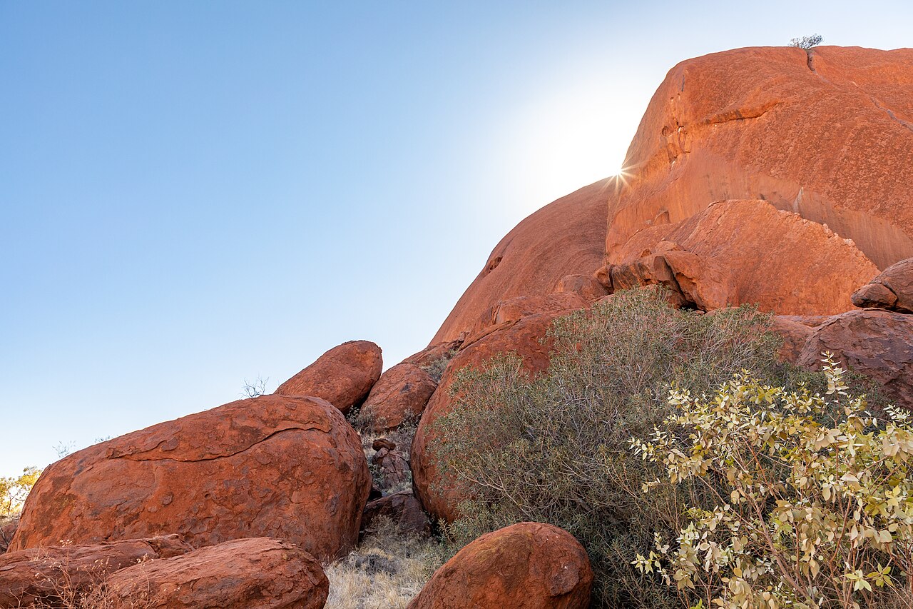
The park covers 1,325 square kilometers, about 512 square miles, in a landscape where the Bureau of Meteorology records only 4.4 days of rain in December and 4.3 in November — the two wettest months of the year — so the rock faces you walk beneath are dry almost all of the time.
The easily missed detail
Photography is restricted, and the restrictions are specific rather than general. Filming, photographing or painting the rock formations is not permitted in areas marked on the park maps. Photography and filming are not permitted inside the Cultural Centre, though they are allowed in its outside areas. Anangu ask visitors not to photograph or film in the restricted circuit area of the Valley of the Winds, while photographing plants, animals and people there is fine. Sensitive sites around the base of Uluṟu should not be photographed. Any commercial photography or filming needs a permit. Reading the map legend before you lift a camera is part of the visit.
A practical rhythm
- Day one — Talinguṟu Nyakunytjaku at sunrise, then the 10.6-kilometer base circuit while it is cool.
- Day two — Kata Tjuṯa, choosing between Karu at 2.2 kilometers, Karingana at 5.4 kilometers and the 7.4-kilometer full circuit.
- Any evening — One of the 2 sunset areas at Uluṟu, or the Kata Tjuṯa sunset viewing area, which looks the other way.
What could complicate the plan
The Grade 4 walks are the ones most often underestimated: the Valley of the Winds circuit is 7.4 kilometers of difficult ground budgeted at 4 hours, and the section beyond Karu lookout is the first thing closed in heat. IUCN's 2025 assessment lists loss of traditional cultural and ecological knowledge as a High Threat at the property, against Low or Very Low ratings for fire, invasive species, water extraction and recreation, which is a useful corrective to the idea that the main risk here is visitor pressure. The property was inscribed under criteria (v), (vi), (vii) and (viii) — two cultural and two natural — so a visit that treats it purely as scenery misses half of what is protected. Pass prices and walk gradings are both published and both change.
What to do next
The when-to-visit question in this group gives the monthly temperatures and gate hours you need to time these walks; the food question covers the Anangu food and tool knowledge the Cultural Centre interprets.
Sources
- Parks Australia, Uluṟu-Kata Tjuṯa National Park visitor guide — walk names, distances, grades and durations, viewing areas, pass prices and validity, photography restrictions
- IUCN World Heritage Outlook, Uluṟu-Kata Tjuṯa National Park — site area, criteria, threat ratings
- Australian Bureau of Meteorology, Yulara Airport station 015635 — mean rain days in November and December