Uluru / Australia When to visit
When should I visit Uluru, Australia, for the best experience?
The short answer
May through August, when Yulara Airport's mean maximum sits between 20.6°C and 24.2°C — 69.1°F to 75.6°F — against a January mean maximum of 38.6°C, or 101.5°F.
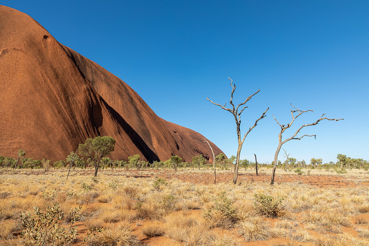
The answer, with local context
The Bureau of Meteorology's table for Yulara Airport, station 015635, is built on a 40-year record running from 1983, and it makes the case plainly. July is the coolest month with a mean maximum of 20.8°C, 69.4°F, and a mean minimum of 4.5°C, 40.1°F. June is almost identical at 20.6°C and 5.6°C, or 69.1°F and 42.1°F. May holds 24.2°C and 9.3°C, 75.6°F and 48.7°F, and August 23.9°C and 6.2°C. September steps up to 28.9°C, 84.0°F. The winter months are cold overnight and comfortable in the middle of the day, which is the right combination for walking.
Rain is not the deciding factor. The station's annual mean is 267.5 millimeters, about 10.5 inches, spread over 29.4 days of rain a year. August is the driest month at 5.0 millimeters, roughly 0.2 inches, and December the wettest at 40.3 millimeters, about 1.6 inches. Nothing in that record makes a month unwalkable for wet.
Heat does. Parks Australia closes the track beyond Karu lookout at 11:00 am whenever the forecast or actual temperature reaches 36°C, 96.8°F, and in hot weather advises finishing walks by 11:00 am altogether. Against a January mean maximum of 38.6°C, that is not an exceptional rule in summer — it is the normal condition.
Picture the place
Daylight, not temperature, sets the shape of a winter day: the park gates open at 6:30 am and close at 7:30 pm in June and July, against 5:00 am to 9:00 pm in January, so a July visit has a 13-hour window rather than a 16-hour one.
The easily missed detail
The gates move almost every month, and they are the hard boundary of your day because all visitors must leave the park by closing time. The published monthly hours run 5:00 am to 9:00 pm in January, February and December; 5:30 am to 8:30 pm in March; 5:30 am to 8:00 pm in April; 6:00 am to 7:30 pm in May and August; 6:30 am to 7:30 pm in June and July; 5:30 am to 7:30 pm in September; 5:00 am to 8:00 pm in October; and 5:00 am to 8:30 pm in November. The Cultural Centre keeps a single year-round schedule of 7:00 am to 5:45 pm, so in midsummer the park is open for hours after the Centre has shut.
A practical rhythm
- Winter sunrise — A 6:30 am gate in June and July means the sunrise viewing areas are reachable without a pre-dawn start.
- Winter midday — With a mean maximum under 21°C in June and July, the middle of the day is the usable part, which reverses the summer logic.
- Summer, if you must — Treat 11:00 am as the end of walking, because the 36°C rule closes the Valley of the Winds beyond Karu lookout.
What could complicate the plan
The overnight cold in winter is real: a mean minimum of 4.5°C in July means freezing nights are plausible and desert camping needs genuine equipment. In summer the heat rule can shut the best walk in the park before mid-morning, with no appeal. IUCN's assessment of the property, finalized on 11 October 2025, rates its overall conservation outlook as Good with overall threats Low, but records climate change effects as data deficient, so long-run seasonal advice should be treated as provisional. And the Bureau's own rainfall series rests on 34 years of record against 40 for temperature, so the wet-season figures are the thinner half of the table.
What to do next
The things-to-do question in this group gives every walk with its distance and grade, which is what you match to these temperatures; the food question covers what Anangu knowledge says about the seasons themselves.
Sources
- Australian Bureau of Meteorology, Climate statistics for Yulara Airport, station 015635 — monthly mean maxima and minima, rainfall, rain days, years of record
- Parks Australia, Uluṟu-Kata Tjuṯa National Park — monthly gate hours, Cultural Centre hours, the 36°C walk closure rule
- IUCN World Heritage Outlook, Uluṟu-Kata Tjuṯa National Park — conservation outlook rating, assessment date and threat ratings