Vancouver / Canada When to visit
When should I visit Vancouver, Canada, for the best experience?
The short answer
Late June into July — the driest, longest days of the year, with average highs of 72°F (22°C) and the rain that defines the rest of the calendar down to about six days in the month.
The answer, with local context
Vancouver runs on two seasons: a dry summer and a long, mild rain. Environment and Climate Change Canada's 1991–2020 normals for the airport station record 44.1 inches (1,119 mm) of rain a year, falling on roughly 166 days — but the distribution is lopsided. July is the driest month at 1.3 inches (34 mm), August follows at 1.4 inches (36 mm), while November, December and January each deliver about 6.8 inches (172–175 mm), with rain on 19 to 20 days in December alone. The city's famous mildness is real: January's average high is 44°F (6.8°C) and its low 35°F (1.4°C), yet that mildness arrives as grey drizzle rather than cold, and snowfall totals just 14.4 inches (36.6 cm) a year, mostly in December and January.
Summer's other asset is light. At the June solstice Vancouver gets the longest days of its year, and the same weeks stack the food calendar: the BC spot prawn season opens in mid-May and runs six to eight weeks, so a late-May or June trip catches the city's signature seafood live at the dock. September is the shoulder worth knowing — highs still average 66°F (19°C), the summer crowds thin, and the rain has usually not yet settled in.
Heat is the one thing a Vancouver summer almost never delivers. The airport normals record highs above 86°F (30°C) on an average of 0.23 days a year — less than one day in four summers — and highs above 68°F (20°C) on only about 79 days, so evenings stay cool even in July.
Picture the place
On a June evening the seawall at English Bay is still in full daylight near nine o'clock, the anchored freighters sitting dark on the water while the beach volleyball games play out their last sets under a sky that has been light since five in the morning.
The easily missed detail
Where in Vancouver you are changes the climate itself. The airport station averages 45.7 inches (1,160 mm) of precipitation a year, but at the base of Grouse Mountain in North Vancouver, about 12 miles away, the annual total is 97.5 inches (2,477 mm) — more than double, wrung out of the same storms by the mountains. Even downtown's harbor station records 9.6 inches (245 mm) in November alone, against the airport's roughly 6.9 inches.
A practical rhythm
- Morning — Walk or ride the seawall early, before the rental bikes and cruise crowds fill it.
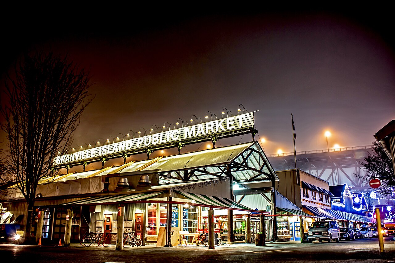
- Midday — Do Granville Island and the markets in the middle of a July day; the city's peak warmth needs no hiding from.
- Evening — Use the June and July light: dinner late, then the sunset from English Bay or Kitsilano Beach.
What could complicate the plan
From November to February the constraint is not cold but persistence: roughly 19 rainy days in a mid-winter month and barely eight hours of daylight shrink every plan. Some recent late summers have also brought days of wildfire smoke drifting in from British Columbia's Interior, which can haze out the mountain views the city is famous for.
What to do next
Time the trip first, then build it around the route in the things-to-do question in this group: Stanley Park, Granville Island and the North Shore bridge.
Sources
- Environment and Climate Change Canada — 1991–2020 Canadian Climate Normals, Vancouver International Airport and Vancouver Harbour stations: precipitation, rain days, temperatures and snowfall
- Destination Vancouver — spot prawn season from mid-May, and the Spot Prawn Festival at Fishermen's Wharf
- Spot Prawn Festival (Chefs' Table Society of BC / Pacific Prawn Fishermen's Association) — the six-to-eight-week BC spot prawn harvest season