Zambia country guide Places and experiences
What should a first-time traveler see in Zambia beyond the obvious highlights?
The short answer
The Barotse floodplain in Western Province and the Luangwa valley — one is a 900,000-hectare Ramsar wetland with a royal migration built into its calendar, the other a single national park of 8,704 square kilometers.
The answer, with local context
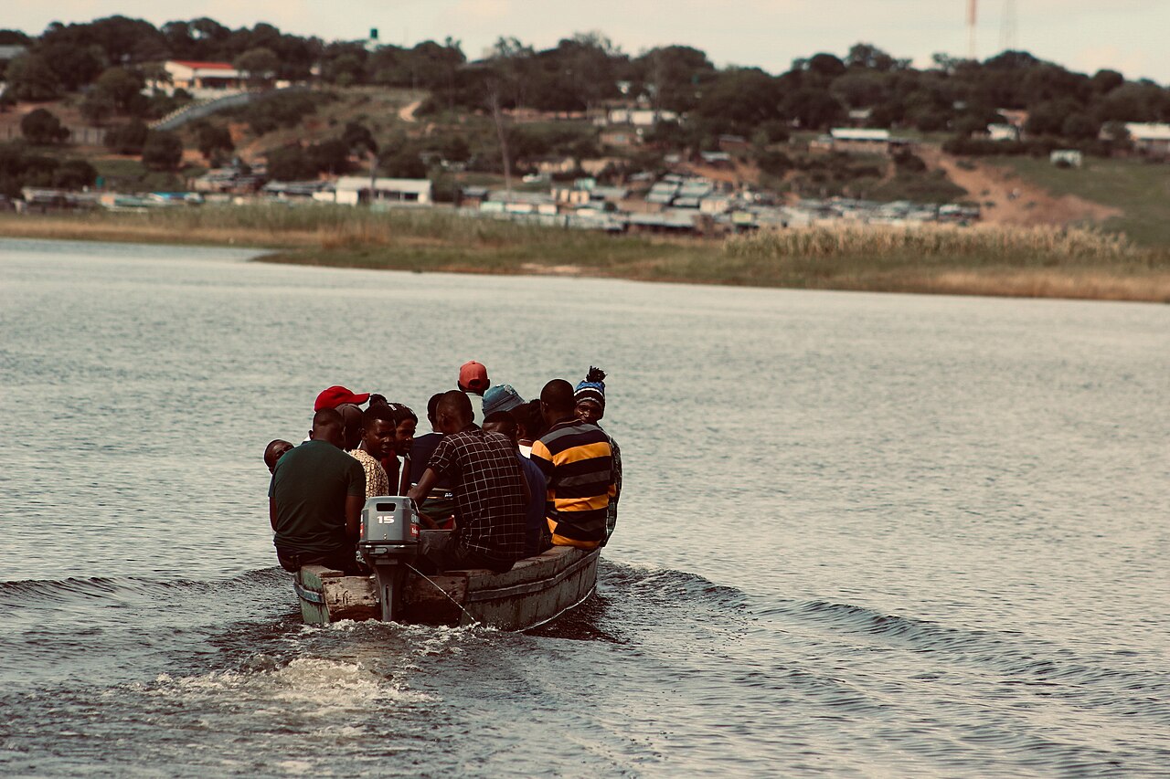
Zambia designated the Zambezi Floodplains as Ramsar site 1662 on 2 February 2007, covering 900,000 hectares in Western Province. The citation records that the floods extend from February to March, when scattered low hills stand out as islands, and that the plains hold about 80 fish species and a blue wildebeest migration the listing describes as the world's second largest. Lion is present and classed as Vulnerable. People living there fish the spawning grounds, cut reeds and sedges for handicrafts, grow rice, and manage the wetland through customary law and village conservation committees.
The same landscape sits on Zambia's World Heritage Tentative List as the Barotse Cultural Landscape, submitted on 10 March 2009 by the National Heritage Conservation Commission under criteria (iii) and (v). The nomination documents a built response to annual flooding: man-made mounds for houses, a network of canals, traditional weirs called malelo, temporary shelters called maongo, royal burial sites and palaces. Elevation across the plain runs 914 to 1,218 meters.
Eastward, South Luangwa is recorded by the UNEP-WCMC protected-areas database at 8,704 square kilometers of terrestrial and inland-water protected area, which makes it a multi-day destination in its own right rather than a stop.
Picture the place
The plain is flat enough that its scale is hard to read from the ground: about 230 kilometers long, more than 30 kilometers wide for most of that, and roughly 50 kilometers across near Mongu. At the February–March peak the flooded area reaches about 10,750 square kilometers; by the November low, only about 537 square kilometers of lagoons, swamps and channels are left.
The easily missed detail
The Barotse flood is marked by an actual relocation. The Tentative List dossier describes the annual Kuomboka ceremony moving the Litunga — the Lozi king — and the plain's inhabitants from the flooded Lealui palace to the highland palace at Limulunga, with a second ceremony, Kufuluhela, marking the return. The nomination rests criterion (iii) on those ceremonies as testimony to a living tradition, which means the single most significant thing to see in Western Province is an event tied to water levels rather than to a fixed date on a calendar.
A practical rhythm
- West — The Barotse plain, where about 1,400 millimeters of annual rain on the northern highlands drives the flood.
- East — South Luangwa, 8,704 square kilometers of park in the Luangwa valley.
- South — The Zambezi below the Barotse system, where the gorge country runs about 110 kilometers downstream of the falls.
What could complicate the plan
Western Province is seasonal infrastructure as much as seasonal landscape — the Ramsar citation names canal dredging among the site's threats alongside unsustainable fishing and poaching of wetland-dependent animals, and a plain that floods to roughly 10,750 square kilometers is not one you cross freely in March. Medical access is the other real constraint: the State Department reports widespread shortages of medicine and medical supplies in Zambia, reasonable care at private clinics in major cities but very limited care outside them with immediate cash payment generally expected, and serious emergencies usually requiring medical evacuation to South Africa, Europe or the United States. It strongly recommends supplemental medical evacuation insurance, which matters more in Western Province and the Luangwa than anywhere near Livingstone.
What to do next
The Zambia when-to-visit answer explains how the same flood pulse governs Victoria Falls, and the food-and-drink answer covers the rice, fish and maize that come out of these floodplains.
Sources
- Ramsar Sites Information Service, Zambezi Floodplains — site number, designation date, area, province, flood months, fish species count, wildebeest migration, lion status, local use and management, threats
- UNESCO World Heritage Centre, Tentative List 5428, Barotse Cultural Landscape — submission date and submitting body, proposed criteria, mounds, canals, malelo weirs, maongo shelters, Kuomboka and Kufuluhela ceremonies, Lealui and Limulunga palaces, plain dimensions and areas, elevation, highland rainfall, November low-water extent
- UNEP-WCMC Protected Planet, South Luangwa — reported area and protected-area type
- US Department of State, Zambia country information — medical supply shortages, clinic availability, evacuation and insurance guidance