Andorra country guide When to visit
When is the best time to visit Andorra for Pyrenees hiking?
The short answer
Late June to mid-September, when Andorra's high routes are clear of snow — the national tourism board puts the GRP circuit at almost 120 km, with the GR 7 and GR 11 each running just over 40 km and reaching over 2,600 m at points, and those altitudes are the reason the hiking season is short.
The answer, with local context
Andorra's walking is defined by how much of the country is above 2,000 m. Andorra Turisme's long-trail material records the GRP as a circuit of almost 120 km that can be tackled in 4 different ways, and the GR 7 and GR 11 as two cross-country routes of just over 40 km each that climb past 2,600 m. It also notes that 3 of the trails pass through the Madriu-Perafita-Claror valley.
That valley is the reason the hiking here has a formal designation. UNESCO inscribed the Madriu-Perafita-Claror Valley in 2004 under Decision 28COM 14B.36, and approved a minor boundary modification in 2006 under Decision 30COM 8B.59, with further Committee decisions in 2008, 2010, 2012, 2013 and 2025. The valley's own management body gives its central zone as 4,247 hectares with a peripheral protection area of 4,092 hectares, states that the basin covers about 10% of Andorra's surface area, and notes that the central and peripheral zones together occupy almost a fifth of the country's territory, across the parishes of Encamp, Andorra la Vella, Sant Julià de Lòria and Escaldes-Engordany.
A fifth of a country given over to a single glacial valley system with no road through it is the practical argument for walking Andorra rather than driving it, and it explains why the season is set by snowmelt rather than by opening hours.
Picture the place
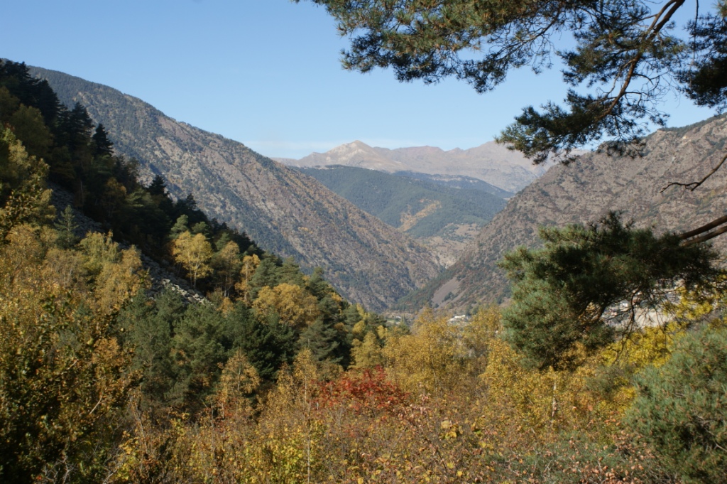
The Madriu valley is a U-shaped glacial trough with stone shepherds' structures scattered up its sides and no vehicle access, so the soundscape above the treeline is water and wind. On the GR routes above 2,600 m the ground is schist and boulder rather than path for long stretches.
The easily missed detail
Altitude is a real factor at the top of these routes but not at the bottom, and the distinction is worth getting right. The CDC Yellow Book 2026 chapter on high-altitude travel states that unacclimatized travelers sleeping at 2,450 m (8,000 ft) or higher are at risk of altitude illness, and sometimes lower; that travelers should avoid going from below 1,200 m (4,000 ft) to a sleeping altitude of 2,750 m (9,000 ft) or more in a single day; and that above 3,000 m (9,800 ft) sleeping altitude should rise by no more than 500 m per night. Andorran valley accommodation sits well below those sleeping thresholds, so the risk in Andorra is concentrated in day ascents and in nights spent in high refuges, not in the resorts.
A practical rhythm
- Early start — Gain the altitude before the afternoon; the GR routes cross ground above 2,600 m where weather turns fastest.
- Midday — Walk the valley floors, including the Madriu, which 3 of the long trails cross.
- Evening — Drop back into a valley parish; the CDC's own guidance is to avoid alcohol for the first 48 hours at altitude and to keep exercise mild in that window.
What could complicate the plan
Access to Andorra is the first constraint, and it is absolute. The UK Foreign, Commonwealth and Development Office's Andorra entry-requirements page states that you must travel through France or Spain to enter Andorra, and that Schengen entry requirements must be met to enter France or Spain even if you hold Andorran residency — a passport issued less than 10 years before arrival and valid at least 3 months after you plan to leave the Schengen area. No visa is needed for Andorra itself, but stays over 3 months require applying in person at the Andorran immigration department for a work or residence permit. The page also notes that hotels and tourist apartments must register overnight guests with the police using passport details. For the mountains themselves, snow cover on routes above 2,600 m, not the calendar, decides whether a crossing is on.
What to do next
The Andorra places answer in this chapter covers the Madriu valley's parishes and protected zones in detail; the trip-planning answer handles the France-or-Spain approach and the customs rules on the way out.
Sources
- Andorra Turisme, long-distance trails and mountain huts — GRP length, GR 7 and GR 11 lengths and maximum altitudes, trails crossing the Madriu valley
- UNESCO World Heritage Centre, Madriu-Perafita-Claror Valley documents — inscription year and decision code, 2006 boundary modification, later decisions
- Madriu-Perafita-Claror Valley management body, Government of Andorra — central and peripheral zone areas, share of national territory, parishes
- CDC Yellow Book 2026, High-Altitude Travel and Altitude Illness — sleeping-altitude risk thresholds and ascent-rate guidance
- UK Foreign, Commonwealth and Development Office, Andorra entry requirements — approach via France or Spain, Schengen passport rules, guest registration