Atacama Desert / Chile When to visit
When should I visit Atacama Desert, Chile, for the best experience?
The short answer
Any month well clear of February — the altiplanic rains that reach this desert delivered 3.1 inches (80 mm) in 24 hours at the Camar station in 2019, the heaviest in 40 years, and closed the Pucará de Quitor to visitors on 28 February that year.
The answer, with local context
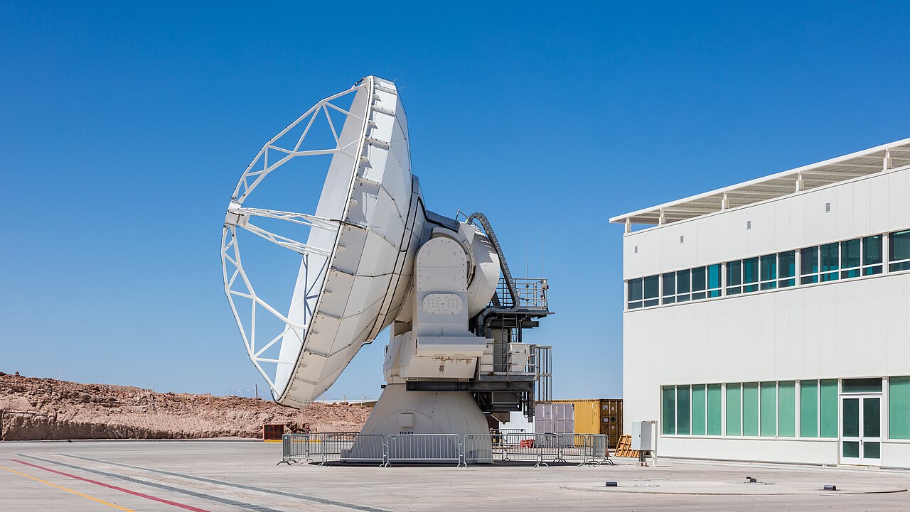
The Atacama's defining statistic is dryness, and the best-documented measurements come from the observatories built here precisely because of it. At Cerro Paranal, 8,647 feet (2,635.43 m) above sea level in the Antofagasta region, the European Southern Observatory records relative humidity typically between 5 and 20 percent. The sky is clear or photometric about 75 percent of night time in winter, April through September, and about 80 percent in summer, October through March. Temperatures measured there between 1985 and 1990 spanned 18°F to 77°F (−8°C to 25°C).
So the clear-sky difference between the two halves of the year is only about 5 percentage points — which is why the rain, not the cloud, should pick your month. Chile's Ministry of Cultures documented what the altiplanic rains of 2019 did to the Pucará de Quitor just north of San Pedro de Atacama: running water cut gullies as deep as 20 inches (50 cm), soaked into the ancient walls until some collapsed, and exposed archaeological material. On 28 February 2019 the Quitor community closed the site to tourist visits, keeping only the lookout open. A desert with almost no drainage does not absorb a summer storm; it channels it.
Wind is the other seasonal variable Paranal quantifies. Median wind speed 98 feet (30 m) above the ground is 13.9 mph (6.2 m/s) on 2000-2023 statistics, winds exceed 22 mph (10 m/s) on about 25 percent of nights, and they exceed 45 mph (20 m/s) on about 50 nights a year. Those are the nights when a high-altitude excursion gets cancelled.
Picture the place
With humidity in single figures for much of the year, the air holds almost nothing, and Paranal's instruments record a typical night-time temperature gradient of −0.4°C per hour — the ground gives up its heat steadily from dusk, which is why an afternoon at 77°F (25°C) and a pre-dawn start on the same ground feel like two different climates.
The easily missed detail
San Pedro's headline sights are not one ticket. Chile's national tourism board states that the Reserva Nacional Los Flamencos is divided into 7 independent sectors, each managing its own access, schedules and entry fees on separate platforms — so each attraction has to be booked individually. Visits are daytime only, with no overnight stays and no camping. That changes the shape of a day here more than the season does: you are returning to town every evening regardless of the month.
A practical rhythm
- Most of the year — With clear-sky percentages only about 5 points apart between the two halves of the year, choosing a month is about dodging rain risk rather than chasing a better sky.
- Any evening — Build in a layer. The measured night-time cooling rate is steady and the daytime range at Paranal reached 77°F (25°C) at its high end.
- Windy nights — About 50 nights a year exceed 45 mph (20 m/s) at the observatory, which is the sort of wind that closes exposed viewpoints.
What could complicate the plan
Altitude is the constraint most visitors underestimate, because San Pedro is a comfortable base and the excursions are not. The CDC advises that unacclimatized travelers risk altitude illness when sleeping at about 8,000 feet (2,450 m) or higher, that once above 9,800 feet (3,000 m) sleeping altitude should rise by no more than 1,650 feet (500 m) per day, and that spending 2 to 3 nights at roughly 8,000 to 9,000 feet (2,450-2,750 m) before going higher is strongly protective against acute mountain sickness. It also recommends limiting alcohol and strenuous exercise during the first 48 hours. Separately, the damage at Quitor shows that an altiplanic storm can close a site outright and keep it closed while emergency works proceed, and that closure began on 28 February — so an itinerary set in that part of the year carries access risk no weather average captures.
What to do next
The things-to-do question in this chapter covers the Quitor site itself and the reserve's named sectors, and the food question covers where the desert's protected produce actually comes from.
Sources
- European Southern Observatory, Paranal site information — altitude, humidity range, clear-sky percentages, measured temperature range, wind statistics
- Chile, Ministry of Cultures, Arts and Heritage — 2019 rainfall record at Camar, gully depths, the 28 February 2019 closure of Pucará de Quitor
- Chile, national tourism board, Reserva Nacional Los Flamencos — 7 independent sectors, separate booking, daytime-only visits
- CDC Yellow Book 2026, High-Altitude Travel and Altitude Illness — sleeping-altitude thresholds, ascent rate, pre-acclimatization, first-48-hours advice