Bahamas country guide When to visit
When is the best time to visit Bahamas for Exuma cays?
The short answer
Mid-December through mid-April — outside the Atlantic hurricane season, which the National Hurricane Center dates from 1 June to 30 November with a climatological peak on 10 September, and in the months when the Exuma Cays Land and Sea Park's eight mooring fields are usable without storm risk dominating the plan.
The answer, with local context
The Bahamas has a narrow annual temperature range and a wide annual risk range, and it is the risk that should set your dates. Nassau's January average high sits near 77°F (25°C) and August's near 89°F (32°C) — a difference of about twelve degrees. The difference between January and September in terms of storm probability is far larger: the National Hurricane Center records that most Atlantic activity falls between mid-August and mid-October, and that activity sometimes occurs before and after the official season dates.
For the Exumas in particular, the park itself is the reason timing matters. The Exuma Cays Land and Sea Park was established in 1959 under The Bahamas National Trust Act, signed on 13 July 1959, following a 1958 expedition led by Ilya Tolstoy that surveyed the cays after developers moved to buy them. It was the first land and sea park in the world and covers 176 square miles, with headquarters at Warderick Wells Cay. As of early 2021 the Trust listed eight active mooring fields, running north to south: Shroud Cay, Hawksbill North and South, Warderick Wells, Emerald Rock, Hog Cay, O'Briens Cay and Cambridge Cay.
Those moorings are the practical structure of an Exumas visit, and they are the part most affected by weather. Anchoring is not permitted in mooring fields, on coral reefs or in certain designated areas, so a boat arriving in unsettled conditions has fewer options than it would elsewhere in the archipelago.
The national calendar gives the same window two fixed anchors. The Government of The Bahamas lists Junkanoo parades on Boxing Day, 26 December, and again on New Year's Day, 1 January; the Nassau parades run on Bay Street downtown and begin in the hours after midnight, with a separate Junkanoo Summer Festival held on Saturdays at Arawak Cay. Pointed the other way, the island festivals worth a detour sit squarely in the risk half of the year: the Eleuthera Pineapple Festival runs four days in the first week of June at Gregory Town, the Andros Crab Fest opens June at Fresh Creek, and the Conch Festival falls in October at Mars Bay. A trip built on the Exumas' settled weather will miss all three, and that is a trade worth making deliberately rather than by accident.
Picture the place
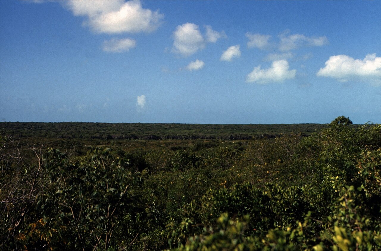
The water over the Exuma banks shifts between pale turquoise and deep blue along the edges of the sand channels, and in the dry winter months the visibility through it is at its clearest. On the cays themselves the soil is a thin layer over coral sand and rock, which is why the vegetation stays low and thorny rather than growing into shade.
The easily missed detail
The park is a no-take zone in the fullest sense. Fishing, conching, shelling and lobstering are all prohibited, and nothing living or dead may be removed — which includes shells picked up on a beach. The Bahamas National Trust's by-laws for the park are dated 1986, penalties include fines up to $500 and confiscation of vessels, and the Royal Bahamas Defence Force keeps Marines stationed at Warderick Wells year-round. The park also won the 2018 Platinum Global Ocean Refuge Award. Visitors who plan to fish their way through the Exumas need to understand that 176 square miles of it are closed to them in every season.
A practical rhythm
- December to February — The clearest water and the lowest storm risk, with Nassau-area highs in the high 70s Fahrenheit.
- March and April — Still outside the season, warmer water, and the last of the settled weather before the risk window opens.
- Any month on the moorings — All vessels, including dinghies and jet skis, must run at idle speed in mooring fields and anchorages, and jet skis must stay at least 300 yards from moored or anchored vessels.
What could complicate the plan
Camping inside the park is tightly controlled: it is permitted only at Hawksbill Cay, Warderick Wells and O'Briens Cay, requires a permit, and campers must notify park headquarters at least two weeks in advance, use portable stoves only and keep lighting minimal. Shroud Cay's north tidal creek is an idle-speed, no-wake zone, motorized vessels are banned from the other tidal creeks, and jet-driven vessels are prohibited in the creeks entirely. Open fires and fireworks are prohibited throughout, and there is no trash disposal on site. Park staff monitor VHF channel 9 and channel 16 around the clock for emergencies.
What to do next
The Bahamas places question in this chapter covers what else the archipelago holds beyond the Exuma chain, and the trip-planning question sets out entry rules and the length of stay you can arrange.
Sources
- Bahamas National Trust, Exuma Cays Land and Sea Park quick guide — establishment date and Act, 1958 expedition, area, headquarters, mooring fields, no-take rules, by-laws, penalties, Defence Force presence, award, camping permits, creek and speed rules, VHF channels
- NOAA National Hurricane Center, tropical cyclone climatology — official season dates, 10 September peak, mid-August to mid-October concentration, activity outside the dates
- Bahamas Department of Meteorology climate normals — Nassau monthly temperature averages
- Government of The Bahamas, festivals — Junkanoo parade dates, and the timings and locations of the Eleuthera Pineapple Festival, Andros Crab Fest and Conch Festival
- The Official Website of The Bahamas, Junkanoo — the Bay Street location, the post-midnight start and the Junkanoo Summer Festival at Arawak Cay