Belize country guide When to visit
When is the best time to visit Belize for Belize Barrier Reef?
The short answer
Late February through April — the dry end of Belize's November-to-May dry season, with April the driest month nationally, and comfortably ahead of the June 1 start of the Atlantic hurricane season.
The answer, with local context
Belize is small but its rainfall is not uniform, and the national picture matters even when your plan is entirely offshore. The National Meteorological Service of Belize puts mean annual rainfall at 60 inches (1,524 mm) in the north and 160 inches (4,064 mm) in the south — a near-threefold difference across a country you can drive the length of in a day. The wet season runs June to November and the dry season November to May, with April the driest month. The rains do not arrive everywhere at once: early May in Toledo, late May in Stann Creek, Belize, Cayo and Orange Walk districts, and early June in Corozal.
Temperature barely moves by comparison. The meteorological service gives mean temperatures from 81°F (27°C) on the coast to 69°F (21°C) in the hills, with January the coldest month and May the hottest, and reports an annual average maximum of 86.2°F (30.1°C) at Philip Goldson International Airport against an average minimum of 72.6°F (22.6°C). Reef water is warm all year; it is sea state and visibility that vary.
The reef itself is the reason February to April wins. The Belize Barrier Reef Reserve System was inscribed by UNESCO in 1996 under natural criteria (vii), (ix) and (x), and it is not one place but seven protected areas spread along the coast and out to the atolls — together about 12% of the entire reef complex. Reaching the outer components means a long open-water crossing, and that crossing is governed by wind, not by rain. The property includes three atolls — Turneffe Islands, Lighthouse Reef and Glover's Reef — and roughly 450 sand and mangrove cayes, with the largest barrier reef in the Northern Hemisphere running between them and the mainland.
Picture the place
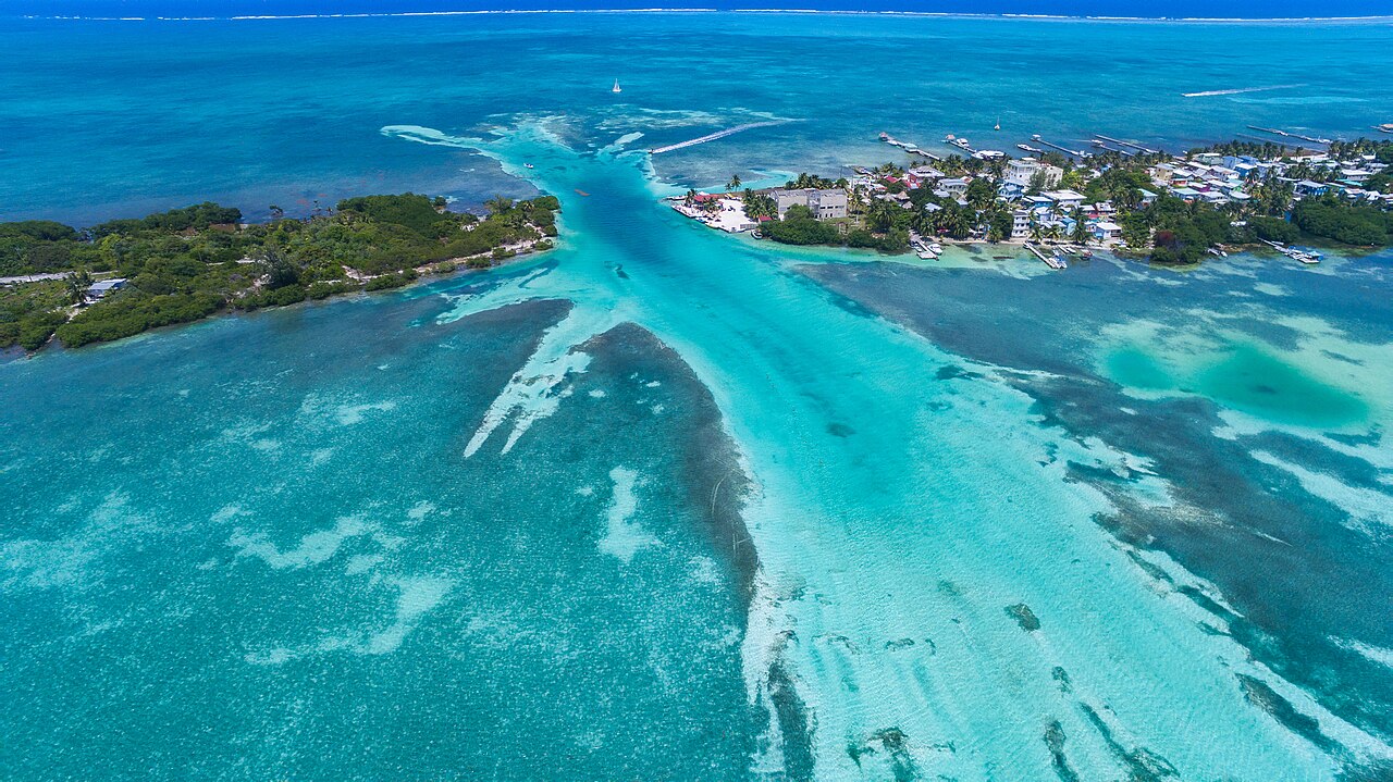
From the deck of a boat the reef announces itself as a line of white water a mile or two out, with the lagoon inside it a flat pale green and the open Caribbean beyond it dark blue. On the atolls the land is barely land: low sand cayes a few feet above sea level with coconut palms and mangrove fringe, and nothing on the horizon in any direction.
The easily missed detail
Because the World Heritage property is seven separate reserves rather than one park, which component you are aiming for decides your whole itinerary. Bacalar Chico National Park and Marine Reserve sits at the northern end against the Mexican border; Blue Hole Natural Monument and Half Moon Caye Natural Monument are both on Lighthouse Reef, far offshore; South Water Caye Marine Reserve and Glover's Reef Marine Reserve lie off the central coast; Laughing Bird Caye National Park is reached from the Placencia peninsula; and Sapodilla Cayes Marine Reserve is in the far south. A base chosen for one of them can be hours of boat time from another.
A practical rhythm
- Dawn to mid-morning — Offshore wind is usually lightest early, which is when long crossings to the atolls are made.
- Midday — Sun is highest and underwater light best; this is the window the outer reserves are worth having traveled for.
- Afternoon — The sea builds. Inshore cayes and the lagoon side of the barrier stay workable when the outside does not.
What could complicate the plan
The Atlantic hurricane season, defined by NOAA's National Hurricane Center as June 1 to November 30, overlaps Belize's wet season almost exactly, and the meteorological service's own storm tally is weighted sharply to its back end — 17 systems in September against three in August. The US Department of State places Belize at Level 2, Exercise Increased Caution, reissued on December 30, 2024, and separately rates Belize City at Level 3, Reconsider Travel, advising US citizens to avoid traveling to the city. Since most reef trips route through Belize City or its airport, that shapes transfers more than diving.
What to do next
The places-and-experiences answer in this group covers the inland districts and the less-visited components of the reef property; the trip-planning answer handles entry rules and how long to allow.
Sources
- UNESCO World Heritage Centre, Belize Barrier Reef Reserve System — inscription year, criteria, the seven component protected areas, atolls, caye count, share of the reef complex
- National Meteorological Service of Belize, climate summary — wet and dry season months, driest month, rainfall range, station temperature averages, onset of rains by district, monthly storm counts
- NOAA National Hurricane Center — Atlantic hurricane season dates
- US Department of State, Belize travel advisory — advisory level, reissue date, Belize City rating