Porto / Portugal Things to do
What are the most worthwhile things to do in Porto on a first visit?
The short answer
Walk the 51-hectare World Heritage property itself, from the cathedral down to the river and across the Luiz I Bridge to the Monastery of Serra do Pilar — the inscription names the bridge and the monastery alongside the historic center, so crossing the Douro is part of visiting the site, not a side trip.
The answer, with local context
The listed property is compact — 51 hectares, with a buffer zone of 186 hectares — and inscribed under criterion (iv) as testimony to a thousand years of development of a European city oriented toward the sea for its cultural and commercial links. Inside that boundary the chronology is unusually legible. The Romans named the place Portus in the first century BC, and archaeology shows occupation at the river mouth as far back as the eighth century BC, when a Phoenician trading settlement stood there. The fourteenth-century Fernandine walls, completed in 1376 under Dom Fernando, enclosed the medieval center; two sections of them still stand.
The named monuments inside the property make a coherent walking route rather than a checklist. The cathedral's Romanesque core dates to the twelfth century and sits high on the hill. The Church of Santa Clara is Manueline. The Palácio da Bolsa, the former stock exchange, was built between 1842 and 1910. The São João Theatre dates from 1796 to 1798 and was rebuilt between 1911 and 1918. The Cadeia da Relação, the former prison, was built between 1765 and 1796. São Bento railway station, the one most visitors photograph without knowing it is part of the inscription, was constructed between 1900 and 1916.
Across the water is the part of the property people miss. The Monastery of Serra do Pilar stands on the Vila Nova de Gaia bank, directly opposite the historic center and included in the World Heritage listing by name. It is the only vantage point from which the whole inscribed property — the hill, the walls, the riverfront and the bridge — can be seen at once.
Picture the place
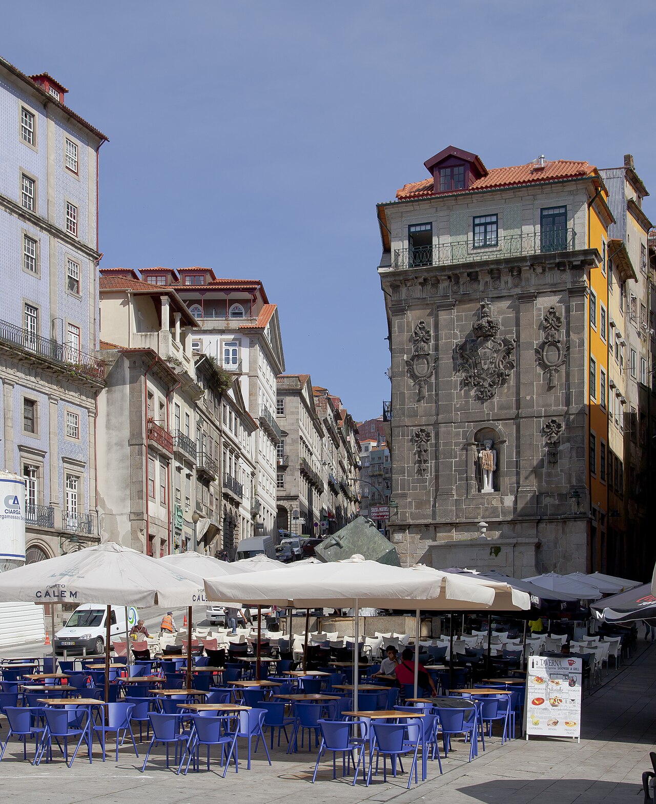
Porto reads vertically. The cathedral and the old walls sit on the ridge, the granite houses step down the slope in terraces, and the riverside quay runs along the bottom at water level. The bridge crosses at two heights at once, so the walk across the upper deck puts you level with the cathedral while the lower deck is level with the quay.
The easily missed detail
The property's full official name is the Historic Centre of Oporto, Luiz I Bridge and Monastery of Serra do Pilar — the bridge and monastery were named explicitly rather than absorbed into a general boundary. That phrasing is an instruction about how to see the city. The inscription is about a river-oriented settlement, and the two named structures are what make the river legible: one spans it, the other looks across it. A visit that stays on the Porto bank has only seen half of what UNESCO listed.
A practical rhythm
- High ground first — The twelfth-century cathedral core and the surviving sections of the 1376 Fernandine walls, before the descent.
- Mid-slope — The Palácio da Bolsa, built 1842 to 1910, the São João Theatre, and São Bento station, completed 1916.
- Across the bridge — The Monastery of Serra do Pilar on the Gaia bank, for the only complete view of the inscribed property.
What could complicate the plan
The gradient defines the day. The drop from the cathedral ridge to the quay is steep and partly stepped, and the climb back is harder than the descent suggests — anyone with mobility limits should plan a riverside-and-Gaia itinerary and reach the upper city by other means. The historic center is a working residential and commercial district inside a 51-hectare boundary with a 186-hectare buffer zone, so restoration scaffolding on named monuments is routine. The Luiz I Bridge's upper deck carries traffic as well as pedestrians, and crossing it is exposed in wind. And individual monuments inside the property — the Bolsa, the theater, the monastery — keep their own hours and ticketing, which are not covered by the World Heritage designation in any way. Nothing administrative stands in the way of the walk — current US guidance for the country asks arriving travelers for no more than normal precautions and sets no mandatory vaccination — so the planning effort all belongs to the slope and the individual opening hours.
What to do next
The Porto when-to-visit answer in this group gives the rainfall figures that decide which months the hill walking is pleasant, and the Porto food answer covers what the river trade put on the city's table.
Sources
- UNESCO World Heritage Centre — official property name, criterion (iv), 51-hectare property and 186-hectare buffer zone, Portus in the first century BC, Phoenician settlement from the eighth century BC, Fernandine walls completed 1376 under Dom Fernando with two surviving sections, cathedral Romanesque core, Church of Santa Clara, Palácio da Bolsa 1842–1910, São João Theatre 1796–1798 and 1911–1918, Cadeia da Relação 1765–1796, São Bento station 1900–1916
- UNESCO World Heritage Centre — inscription year 1996
- Instituto Português do Mar e da Atmosfera (IPMA) — Porto station reference for the seasonal walking conditions on the slope
- US Department of State, Portugal country information — advisory wording "Exercise normal precautions in Portugal" and the absence of any mandated vaccination for arriving US travelers (retrieved 5 November 2026)