Panama country guide Places and experiences
What should a first-time traveler see in Panama beyond the obvious highlights?
The short answer
The four World Heritage properties outside the capital — Portobelo-San Lorenzo on the Caribbean, Coiba National Park and its Special Zone of Marine Protection in the Pacific, and the Talamanca Range-La Amistad reserves on the Costa Rican border — which between them cover Spanish imperial fortifications, an offshore marine park and a transboundary mountain wilderness.
The answer, with local context
Panama has five properties on the World Heritage List and ratified the World Heritage Convention on 3 March 1978, which puts it among the earlier signatories in the Americas. Only one of those properties is in Panama City. The rest require a plan.
Portobelo and San Lorenzo guard the Caribbean mouth of the isthmus, where Spain shipped Peruvian silver across to the Atlantic. The property has generated state-of-conservation reporting to the World Heritage Committee continuously from 2000 to 2025, which tells you something useful before you go: this is masonry under tropical attack, not a restored museum campus, and what you see is partly a function of which conservation cycle it is in.
Coiba sits off the Pacific coast of Veraguas and is listed with a surrounding Special Zone of Marine Protection rather than as an island alone — reporting on it runs from 2009 to 2025. La Amistad is the outlier in scale: the Talamanca Range-La Amistad Reserves and La Amistad National Park straddle the frontier with Costa Rica, and the Committee has been receiving conservation reports on it since 1990, the longest reporting record of any Panamanian property.
Beyond the inscribed sites, the country's own geography does the work. Panama runs east to west, not north to south, so its two coasts have genuinely different weather rather than merely different scenery, and the Caribbean side stays wet when the Pacific side dries out. The capital's rainfall swing — from a February mean of 10.0 mm to an October mean of 329.6 mm — is a Pacific-side pattern, and visitors who assume it applies in Bocas del Toro are planning off the wrong chart.
Picture the place
The isthmus is narrow enough that the Caribbean and Pacific watersheds are a short drive apart, and the change is in the canopy: the wetter Caribbean slope carries denser, taller forest than the seasonally dry Pacific lowlands around the capital, where trees drop leaves in the dry months.
The easily missed detail
Panama Viejo and the Historic District are one property, not two destinations, and the Committee's 2003 decision explicitly joined them — the original Historic District of Panamá including the Salón Bolívar was extended to take in the archaeological site of Panamá Viejo, with the whole inscribed under criteria (ii), (iv) and (vi). The practical effect is that the ruined original city founded on the Pacific shore and the rebuilt walled town are a single heritage story with a nine-kilometer gap in the middle, and seeing one without the other leaves the story half-told.
A practical rhythm
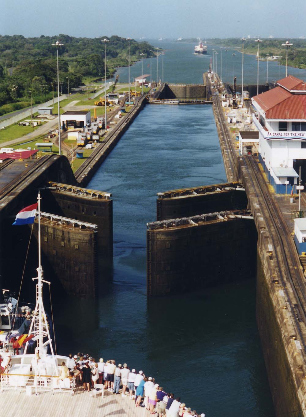
- Caribbean side — Portobelo and San Lorenzo are reachable from the canal's Atlantic end, which also puts the Agua Clara locks viewing point, at B/.10.00 for a non-resident adult, in the same day.
- Pacific islands — Coiba's listing includes its marine zone, so the interest is underwater as much as ashore.
- Highlands and border — La Amistad is a multi-day, two-country mountain proposition, not an add-on.
What could complicate the plan
Three of Panama's five properties have active, long-running conservation reporting, and access to individual components can be restricted while work proceeds. Distance is the larger constraint: La Amistad is at the far western end of the country and Coiba requires a boat, so a week that includes the capital, the canal and either of them is a week built around internal flights. The May-to-December rainy season overlaps most of the year, and on the Caribbean side the dry window is narrower than the capital's January-to-mid-April pattern suggests.
What to do next
Pair this with the Panama trip-planning question for how many of these regions fit a first visit, and with the when-to-visit question for the dry-season dates.
Sources
- UNESCO World Heritage Centre, Panama States Parties page — ratification date, property count, named properties, reporting periods
- UNESCO World Heritage Committee, Decision 27 COM 8C.40 — the 2003 extension joining Panamá Viejo to the Historic District
- Panama Canal Authority, visitor-center tariff — Agua Clara non-resident admission
- Instituto de Meteorología e Hidrología de Panamá, Caracterización del clima en el distrito de Panamá — Pacific-side rainfall range and season structure