Worldwide travel / Worldwide Things to do
How can I plan a hiking trip when mountain weather is unpredictable?
The short answer
Plan two routes for every day — the objective and its low, sheltered understudy — set a turnaround time that is not negotiable, and read the mountain-specific forecast the night before and the sky the morning of.
The answer, with local context
Mountain weather is not country weather at altitude; it is its own system, and planning means submitting to its information chain. The physics first: air cools with height at roughly 6.5°C per 1,000 m (the standard lapse rate), so a pleasant 68°F (20°C) valley can hold 41°F (5°C) and wind chill below freezing on a 3,000 m summit — pack for the summit's climate, not the trailhead's. The forecasts that matter are the mountain products: the UK Met Office and the volunteer-run Mountain Weather Information Service publish fell-specific forecasts; MeteoSwiss, ZAMG and Météo-France run alpine products; and the avalanche services (coordinated in Europe by EAWS on a common five-level danger scale) govern winter and spring snow travel — a Level 3 "considerable" day is the classic accident setting, since it feels permissive. Check the night before, re-check at dawn, and treat the sky itself as the final instrument: building cumulus before noon, a falling barometer on the watch, and wind backing all outrank any app.
The plan's structure is the real safety device. Every summit day gets a Plan B of equal dignity — the valley walk, the lower col, the lake circuit — chosen at breakfast without disappointment, which is only possible if it was planned, not improvised. Fix a turnaround time (the hour you descend regardless of position — alpine clubs teach it as the discipline that prevents the majority of epics), leave the route and return time with a person or a hut book, and carry the layer, light, map and power the "ten essentials" tradition prescribes, plus the local rescue number (112 across the EU) and, in remote ranges, a satellite communicator or PLB whose SOS does not depend on a phone signal. Rescue is a system, not a right: in much of Europe mountain rescue can be billed to the rescued unless insured (alpine-club membership bundles rescue insurance, one reason the clubs have millions of members), and in North America coverage varies by state and park. The unpredictable-weather trip is therefore planned in pencil on paper maps, with the summit treated as a request the mountain grants — the hikers who internalise that come home with stories about weather, not about rescue.
Picture the place
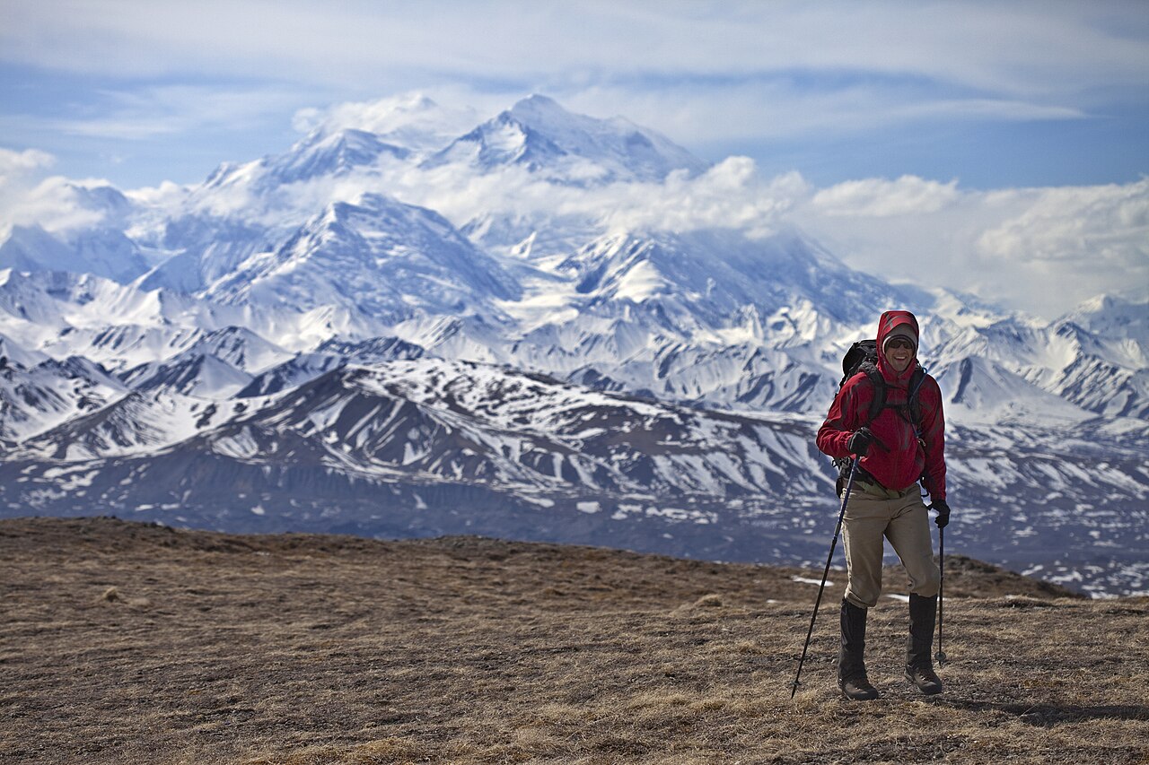
A col at 11 a.m.: cloud boiling up the far side, the summit an hour above, the clock saying what the ego won't. The photograph you take is of the cloud — and the descent is the day's achievement.
The easily missed detail
The most dangerous forecast is yesterday's perfect one carried in the head: mountain conditions reset nightly, and the majority of weather epics begin under a dawn that matched the plan. The professional habit to steal is the twice-told check — forecast at 9 p.m., sky and instruments at 6 a.m., decision at the trailhead, and a second decision at the first exposed point, where turning is still cheap. Second detail: valleys lie about wind — a calm trailhead can sit under a 60 mph summit flow (the foehn and katabatic patterns), which is why summit-wind figures, not valley weather, are the number to find in the mountain forecast.
A practical rhythm
- A and B routes, both planned — The low route chosen with the same care as the objective; breakfast decides, ego doesn't
- Turnaround time in ink — Set by distance and daylight before departure; the summit is optional, the hour is not
- Forecast twice, carry once — Mountain forecast at night and dawn; the essentials, rescue number and insurance in the pack every day
What could complicate the plan
Altitude is the constraint that weather-led planning tends to forget. Acute mountain sickness becomes a real prospect from a sleeping altitude of about 8,000 feet (2,450 meters), and affects roughly 25 percent of visitors who sleep above that line in Colorado; on standard Nepali trekking schedules prevalence approaches 30 percent at the higher camps, and flying straight to above 11,150 feet (3,400 meters) pushes it toward 50 percent. The published remedy is a schedule rather than a drug: above 9,800 feet (3,000 meters), limit the gain in sleeping altitude to 1,650 feet (500 meters) a night and add an acclimatization night for every 3,300 feet (1,000 meters) climbed to sleep — a shape of trip that rarely matches the shape of the flights. Rescue is the second constraint, since in much of Europe its cost falls on the rescued unless a policy or club membership covers it. And the third is simply that the forecast you built the day on does not survive the night, so the plan has to tolerate being rewritten before breakfast.
What to do next
Draft your next mountain day as a pair of routes with a written turnaround time, and bookmark the mountain forecast and avalanche bulletin for the range today.
Sources
- European Avalanche Warning Services (EAWS) — the common five-level avalanche danger scale
- Mountain Weather Information Service and the UK Met Office — fell and mountain-specific forecasts
- UIAA (International Climbing and Mountaineering Federation) — safety standards and the essentials tradition
- German and Austrian Alpine Clubs (DAV/ÖAV) — turnaround discipline and rescue-insurance membership
- CDC Yellow Book 2026, High-Altitude Travel and Altitude Illness — the 8,000-foot risk threshold, Colorado and Nepal prevalence figures and the published ascent-rate limits (retrieved 2026)