Worldwide travel / Worldwide Places and experiences
How do I choose a beach destination outside the busiest season?
The short answer
Choose by water temperature and weather system, not by crowd calendars alone: the winning formula is a destination whose sea lags warmly into the shoulder months while its storm, monsoon or algae season is demonstrably elsewhere.
The answer, with local context
Beach seasons are three clocks running at different speeds, and the off-peak art is reading all three. The crowd clock is the obvious one — school holidays and festivals — and it is the only one that drops prices. The water clock runs four to six weeks behind the air: seas are warmest in early autumn (the northern Mediterranean peaks around 73–77°F — 23–25°C — in September) and coldest in early spring, however sunny the beach looks, which is why September beats May for swimming at the same latitude. The weather-system clock is the one that ruins trips: the Atlantic hurricane season runs June 1 to November 30 (NOAA) with its statistical peak around September 10 — so the Caribbean's crowd-free September is cheap for a reason, while its genuine sweet spot is the dry, calm window of late April–May after the winter crowds leave.
Apply the same three-clock test by region and the map reshuffles itself. Southeast Asia is two coasts out of phase: Thailand's Andaman side is dry November–April while the Gulf side (Koh Samui) takes its main rains in October–December — "off-season Thailand" is meaningless until you name the coast; Australia's tropical north has a stinger season (box jellyfish, roughly November–May) that changes what "beach" even permits. The sargassum years have added a fourth check for the Caribbean and Mexico: the great Atlantic sargassum belt (monitored by the University of South Florida's satellite watch) strands weed mainly from spring into summer, so autumn's crowd gap is doubly kind there. The checklist that survives all regions: name the water temperature for your month from the met or ocean service, name the storm or monsoon calendar from the official source, confirm the lifeguard and beach-service season (many Mediterranean concessions close mid-September even while the sea is perfect), and price the trip — if the discount is small, the locals know something; if it is huge, re-read the weather clock.
Picture the place
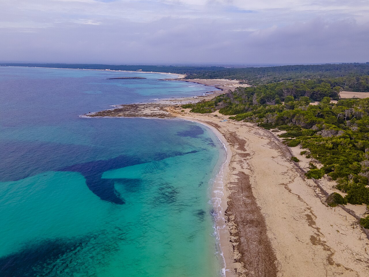
A Mallorcan cala in late September: the concession's umbrellas stacked for winter, the water still bath-warm, and a dozen swimmers spread across sand that held a thousand in August.
The easily missed detail
The sea-temperature lag has a mirror image travelers miss in spring: a "warm" April week in the Mediterranean means air in the 70s over a sea still in the high 50s°F (14–16°C) — fine for paddling children and wetsuited swimmers, not for the lazy floating a beach holiday implies. The destinations that beat the lag are thermal exceptions: the Canaries' Atlantic (warmed year-round), volcanic-island springs, and the Red Sea's winter warmth — the shoulder-season map rewards the coasts with a water story, not just a price story.
A practical rhythm
- Water first, crowd second — Choose the month by the sea-temperature table, then enjoy the crowd gap it creates
- Name the storm calendar — NOAA hurricane dates, the monsoon coast, the stinger season: one official check per trip
- Verify the services, not just the sand — Lifeguards, concessions and boat trips run their own seasons, often shorter than the weather's
What could complicate the plan
Off-peak coasts are still regulated on the peak season's calendar, and the paperwork stops before the weather does. Under the European bathing water directive each member state identifies its bathing waters annually and fixes the length of its own bathing season, sets a monitoring calendar before that season starts, and samples no later than 4 days after each scheduled date — the regime has run on that basis since the first bathing season after 24 March 2008. The practical consequence is that a September swim usually sits inside the monitored season while a late-October one often does not, so the water-quality record you were relying on simply stops. Lifeguard cover, access ramps, boat trips and the one beach restaurant that serves them follow the same shrinking calendar, and the storm tail is the last complication: the cheapest weeks on a tropical coast are cheap because the cyclone season is still running, and a cancelled ferry or a closed promenade is a sea-temperature table's blind spot.
What to do next
For your next beach trip, write the three clocks down side by side — crowd, water, weather system — and pick the month where at least two run in your favour.
Sources
- NOAA National Hurricane Center — the Atlantic season (June 1–November 30) and its mid-September activity peak
- University of South Florida Optical Oceanography Laboratory — the satellite sargassum outlook for the Caribbean and Atlantic
- National meteorological services (AEMET, Météo-France, Thai Meteorological Department) — coastal sea temperatures and the two-coast monsoon pattern
- Surf Life Saving Australia — the northern stinger season (roughly November–May)
- Directive 2006/7/EC on bathing water quality, Article 3 — annual identification of bathing waters, the defined bathing season, monitoring calendars and the 4-day sampling window (retrieved 2026)